UN/LOCODE hub · United States
USML8
Marshall
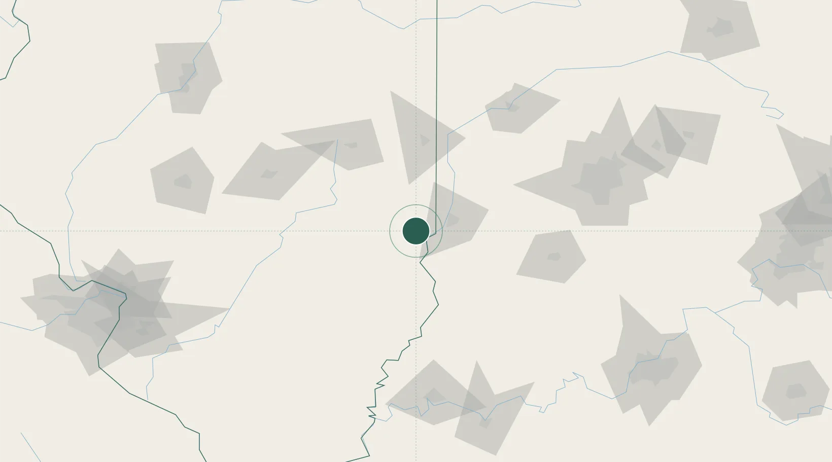
39.3833°, -87.7000°
3,880
Population
2
Transport functions
Transport Functions
Rail
Road
Hub Profile
Place type
Provincial seat
Region
Illinois
Population
3,880
Time zone
America/Chicago
Elevation
194 m
Location
Nearby Logistics Neighbours
Cities
- 1Martinsville17 km
- 2Sandford23 km
- 3West Terre Haute23 km
- 4Casey27 km
- 5Greenup44 km
Ports
- 1Gary250 km
- 2Indiana Harbor255 km
- 3Calumet Harbor262 km
- 4Michigan City270 km
- 5Chicago278 km
Airports
Trade Zones
- 1FTZ No. 072 Indianapolis125 km
- 2FTZ No. 245 Decatur128 km
- 3FTZ No. 177 Evansville154 km
- 4FTZ No. 029 Louisville206 km
- 5FTZ No. 114 Peoria217 km
DatabookThe Record of Consolidated Knowledge
United States beyond logistics?