Medium airport · United States
University of Illinois Willard AirportKCMI
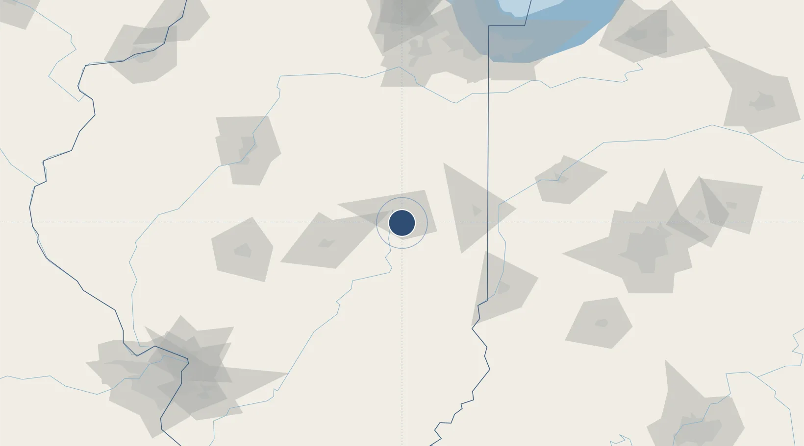
40.0398°, -88.2762°
8,101 ft
Longest runway
3
Runways
755 ft
Elevation
Runway & Layout

Radio Frequencies
ATIS
124.85 MHz
TWR
118.25 MHz
CHAMPAIGN TWR
GND
121.8 MHz
CLD
128.75 MHz
CLNC DEL
CTAF
120.4 MHz
A/D
121.35 MHz
CHAMPAIGN APP/DEP
RDO
110 MHz
ST LOUIS RDO
UNIC
122.95 MHz
UNICOM
Navaids
CM NDB Veals 407 kHz
CMI VORTAC Champaign 110.00 MHz
Runways · 3
| Runway | Dimensions | Surface | True heading | Lit |
|---|---|---|---|---|
| 14L/32R | 8,101 × 150ft | Concrete | 136° | ✓ |
| 04/22 | 6,502 × 150ft | Concrete | 040° | ✓ |
| 14R/32L | 3,816 × 75ft | Asphalt | 060° | ✓ |
Airport Specifications
IATA code
CMI
ICAO code
KCMI
Airport class
Medium airport
Scheduled service
Yes
Runway surface
Concrete
Served city
Savoy
Location
Nearby Logistics Neighbours
Airports
Cities
- 1Saint Joseph22 km
- 2Thomasboro25 km
- 3Longview25 km
- 4Ogden29 km
- 5Murdock31 km
Ports
- 1Gary192 km
- 2Indiana Harbor194 km
- 3Calumet Harbor199 km
- 4Chicago213 km
- 5Michigan City221 km
Trade Zones
- 1FTZ No. 245 Decatur70 km
- 2FTZ No. 114 Peoria133 km
- 3FTZ No. 072 Indianapolis171 km
- 4FTZ No. 152 Burns Harbor200 km
- 5FTZ No. 022 Chicago202 km
DatabookThe Record of Consolidated Knowledge
United States beyond logistics?