Transport Functions
Rail
Road
Hub Profile
Place type
Populated place
Region
Illinois
Population
2,709
Time zone
America/Chicago
Elevation
197 m
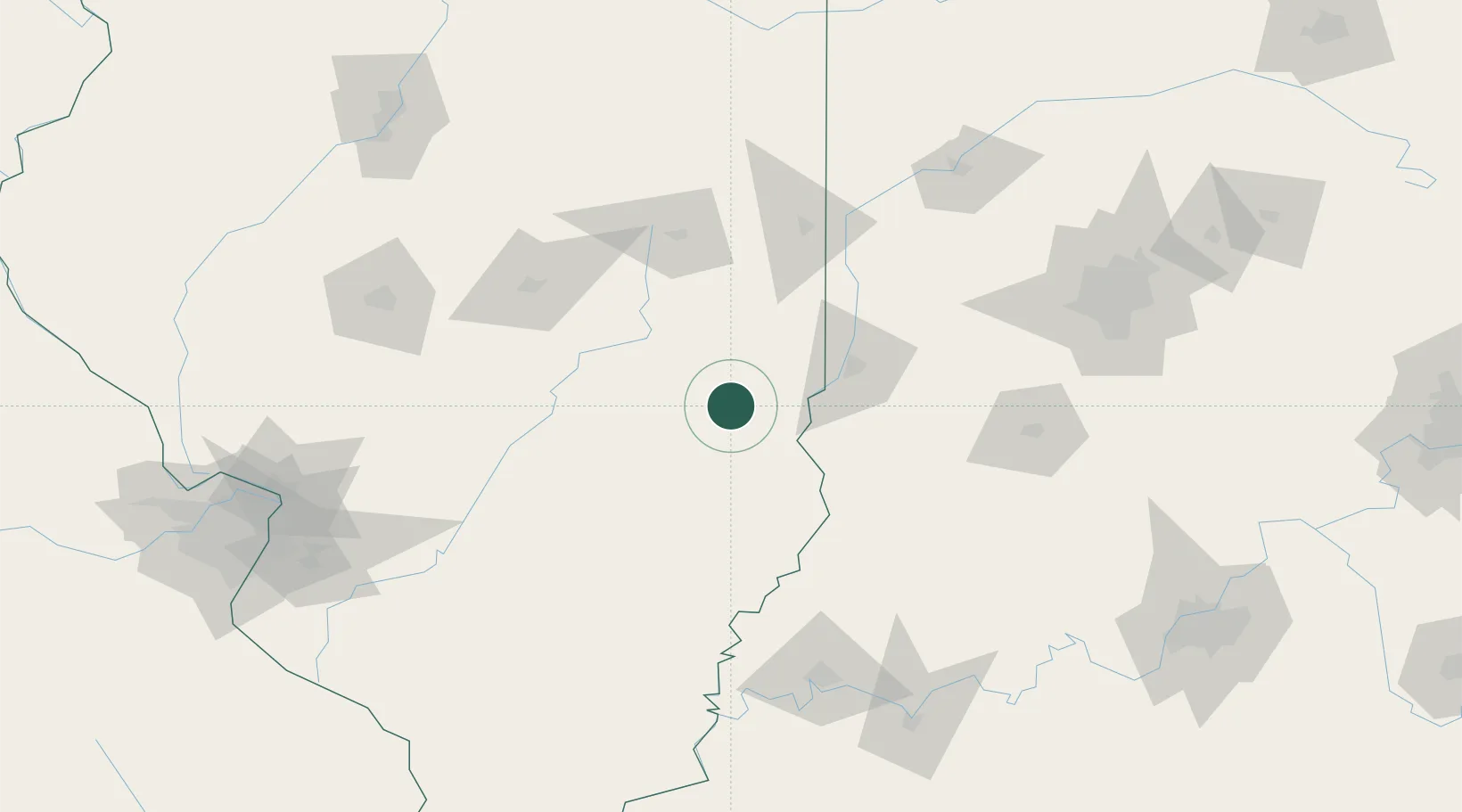
Location
Nearby Logistics Neighbours
Cities
- 1Martinsville10 km
- 2Greenup17 km
- 3Marshall27 km
- 4Neoga40 km
- 5Palestine46 km
Ports
- 1Gary265 km
- 2Indiana Harbor269 km
- 3Calumet Harbor275 km
- 4Michigan City287 km
- 5Chicago291 km
Airports
Trade Zones
- 1FTZ No. 245 Decatur112 km
- 2FTZ No. 177 Evansville147 km
- 3FTZ No. 072 Indianapolis151 km
- 4FTZ No. 031 Granite City201 km
- 5FTZ No. 114 Peoria208 km
DatabookThe Record of Consolidated Knowledge
United States beyond logistics?