Transport Functions
Road
Multimodal
Hub Profile
Place type
Populated place
Region
Illinois
Population
325
Time zone
America/Chicago
Elevation
153 m
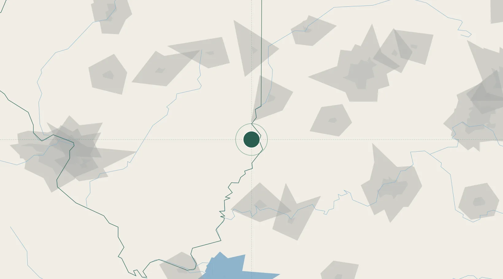
Location
Nearby Logistics Neighbours
Cities
- 1Palestine13 km
- 2Casey51 km
- 3West Salem52 km
- 4Martinsville52 km
- 5Marshall54 km
Ports
- 1Gary303 km
- 2Indiana Harbor308 km
- 3Calumet Harbor315 km
- 4Michigan City322 km
- 5Chicago332 km
Airports
Trade Zones
- 1FTZ No. 177 Evansville101 km
- 2FTZ No. 072 Indianapolis148 km
- 3FTZ No. 245 Decatur160 km
- 4FTZ No. 029 Louisville177 km
- 5FTZ No. 294 Western Kentucky219 km
DatabookThe Record of Consolidated Knowledge
United States beyond logistics?