UN/LOCODE hub · United States
USWZH
West Terre Haute
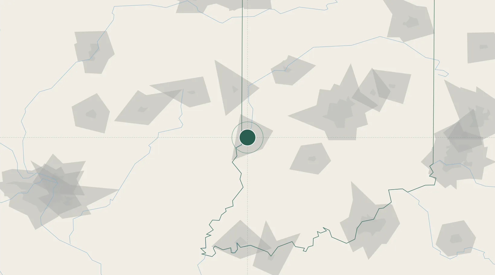
39.4667°, -87.4500°
2,217
Population
2
Transport functions
Transport Functions
Rail
Road
Hub Profile
Place type
Populated place
Region
Indiana
Population
2,217
Time zone
America/Indiana/Indianapolis
Elevation
143 m
Location
Nearby Logistics Neighbours
Cities
- 1Sandford9 km
- 2Marshall23 km
- 3Brazil29 km
- 4Rockville37 km
- 5Martinsville40 km
Ports
- 1Gary239 km
- 2Indiana Harbor245 km
- 3Calumet Harbor252 km
- 4Michigan City256 km
- 5Chicago269 km
Airports
Trade Zones
- 1FTZ No. 072 Indianapolis101 km
- 2FTZ No. 245 Decatur144 km
- 3FTZ No. 177 Evansville164 km
- 4FTZ No. 029 Louisville195 km
- 5FTZ No. 114 Peoria228 km
DatabookThe Record of Consolidated Knowledge
United States beyond logistics?