UN/LOCODE hub · United States
USIIE
Martinsville
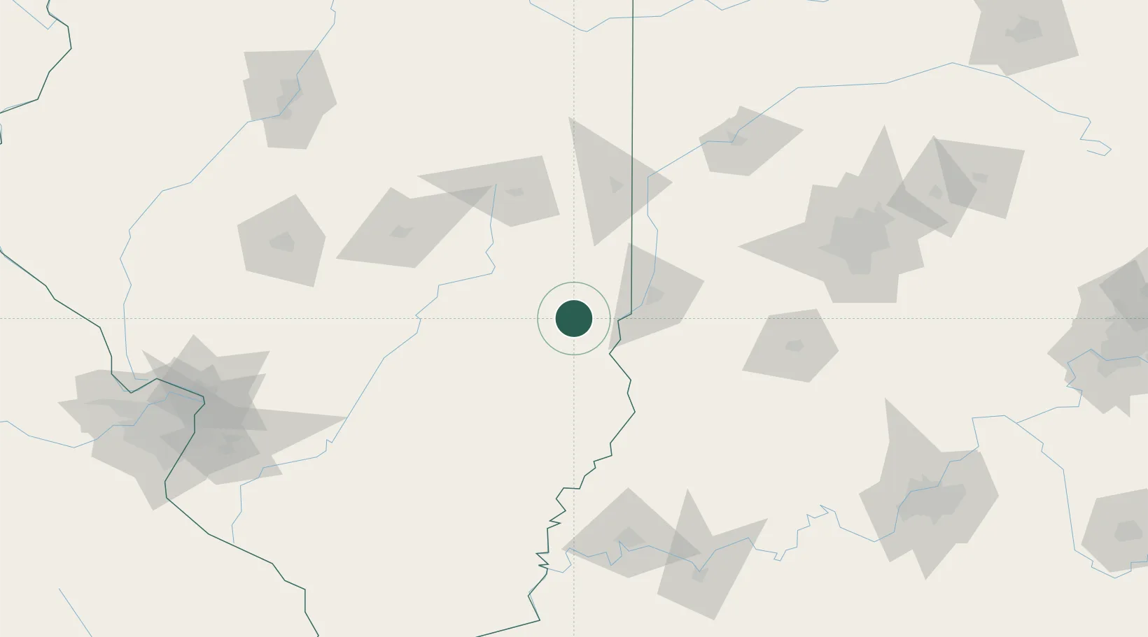
39.3333°, -87.8833°
1,135
Population
2
Transport functions
Transport Functions
Rail
Road
Hub Profile
Place type
Populated place
Region
Illinois
Population
1,135
Time zone
America/Chicago
Elevation
186 m
Location
Nearby Logistics Neighbours
Cities
- 1Casey10 km
- 2Marshall17 km
- 3Greenup27 km
- 4Sandford39 km
- 5West Terre Haute40 km
Ports
- 1Gary258 km
- 2Indiana Harbor262 km
- 3Calumet Harbor269 km
- 4Michigan City280 km
- 5Chicago285 km
Airports
Trade Zones
- 1FTZ No. 245 Decatur116 km
- 2FTZ No. 072 Indianapolis141 km
- 3FTZ No. 177 Evansville151 km
- 4FTZ No. 114 Peoria210 km
- 5FTZ No. 031 Granite City211 km
DatabookThe Record of Consolidated Knowledge
United States beyond logistics?