Transport Functions
Port
Road
Hub Profile
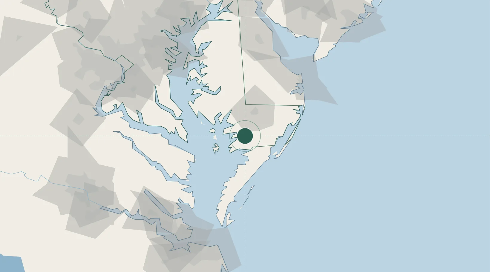
Place type
Populated place
Region
Maryland
Time zone
America/New_York
Elevation
4 m
Location
Nearby Logistics Neighbours
Ports
- 1Salisbury29 km
- 2Ocean City59 km
- 3Solomons Island69 km
- 4Piney Point73 km
- 5Cape Charles99 km
Airports
Trade Zones
- 1FTZ No. 073 BWI Airport145 km
- 2FTZ No. 063 PrInce Georges County150 km
- 3FTZ No. 074 Baltimore150 km
- 4FTZ No. 142 Salem Millville150 km
- 5FTZ No. 020 Suffolk154 km
DatabookThe Record of Consolidated Knowledge
United States beyond logistics?