Transport Functions
Rail
Road
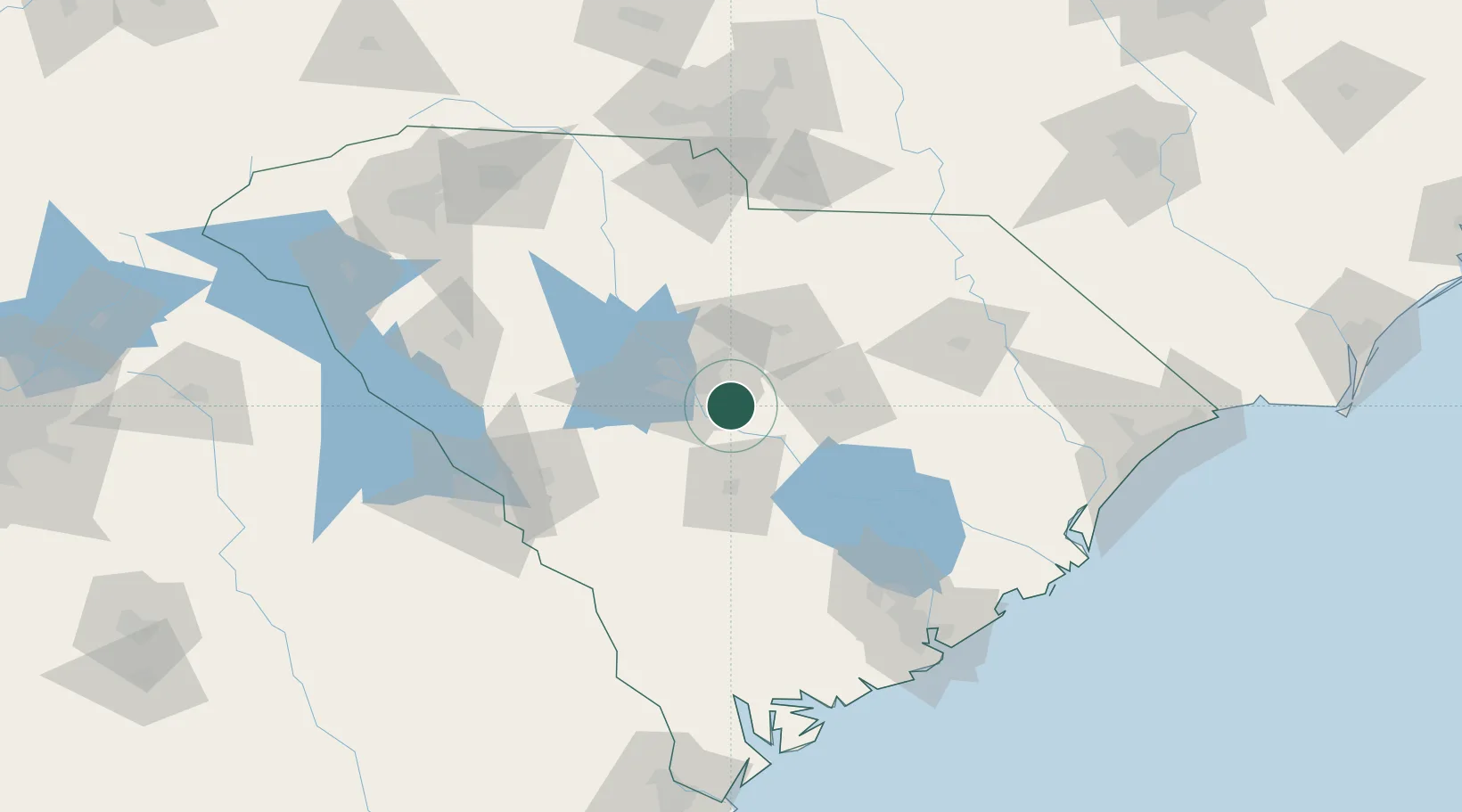
Hub Profile
Place type
Populated place
Region
South Carolina
Population
2,882
Time zone
America/New_York
Elevation
50 m
Location
Nearby Logistics Neighbours
Cities
- 1Gadsden13 km
- 2Fort Jackson19 km
- 3Swansea28 km
- 4Shaw Air Force Base37 km
- 5Pelion38 km
Ports
- 1Charleston152 km
- 2Georgetown158 km
- 3Beaufort164 km
- 4Port Royal171 km
- 5Savannah203 km
Airports
Trade Zones
DatabookThe Record of Consolidated Knowledge
United States beyond logistics?