Medium airport · United States
Esler Army Airfield / Esler Regional AirportKESF
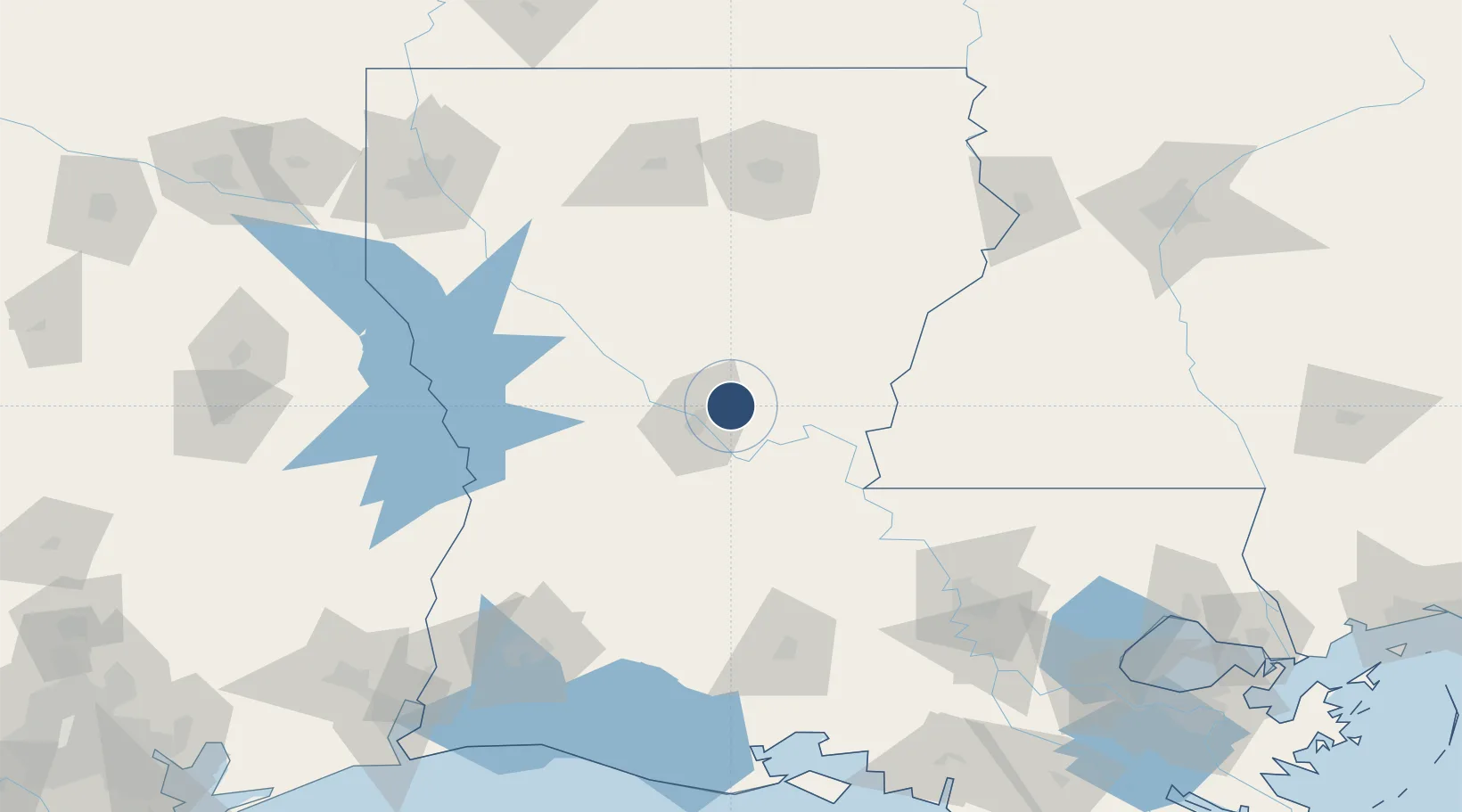
31.3943°, -92.2941°
5,998 ft
Longest runway
2
Runways
112 ft
Elevation
Runway & Layout

Radio Frequencies
CTAF
122.8 MHz
CTAF/UNICOM
A/D
132.05 MHz
POLK APP/DEP
MISC
141.45 MHz
ARNG OPS
RDO
122.55 MHz
DE RIDDER RDO
Navaids
ES NDB Andra 223 kHz
Runways · 2
| Runway | Dimensions | Surface | True heading | Lit |
|---|---|---|---|---|
| 09/27 | 5,998 × 150ft | Asphalt | 091° | ✓ |
| 14/32 | 5,600 × 150ft | Asphalt | 145° | ✓ |
Airport Specifications
IATA code
ESF
ICAO code
KESF
Airport class
Medium airport
Scheduled service
No
Runway surface
Asphalt
Served city
Alexandria
Location
Nearby Logistics Neighbours
Airports
- 1Alexandria International Airport25 km
- 2Polk Army Air Field94 km
- 3Beauregard Regional Airport118 km
- 4Monroe Regional Airport127 km
- 5Lafayette Regional Airport135 km
Cities
- 1Jena34 km
- 2Boyce35 km
- 3Marksville39 km
- 4Hessmer42 km
- 5Lena46 km
Ports
- 1Baton Rouge149 km
- 2Lake Charles160 km
- 3Orange200 km
- 4Convent207 km
- 5St. James211 km
Trade Zones
- 1FTZ No. 154 Baton Rouge145 km
- 2FTZ No. 155 Calhoun Victoria Counties145 km
- 3FTZ No. 087 Lake Charles168 km
- 4FTZ No. 158 Vicksburg Jackson175 km
- 5FTZ No. 145 Shreveport197 km
DatabookThe Record of Consolidated Knowledge
United States beyond logistics?