UN/LOCODE hub · United States
USKZS
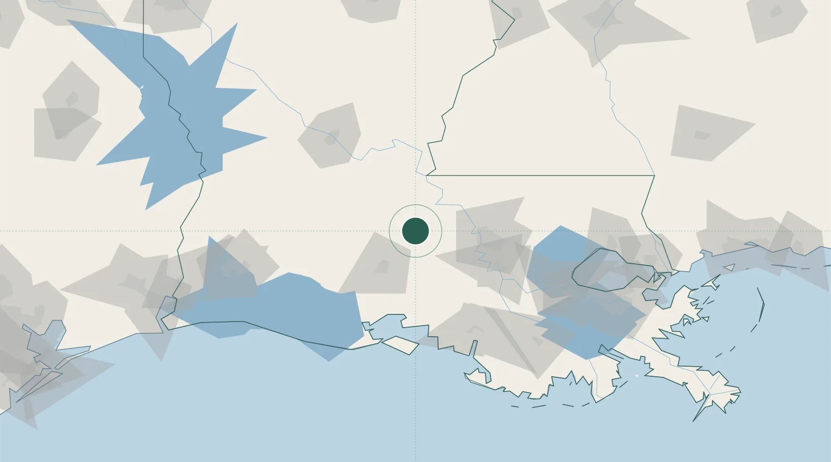
Krotz Springs
30.5333°, -91.7500°
1,203
Population
2
Transport functions
Transport Functions
Road
Multimodal
Hub Profile
Place type
Populated place
Region
Louisiana
Population
1,203
Time zone
America/Chicago
Elevation
8 m
Location
Nearby Logistics Neighbours
Cities
- 1Arnaudville22 km
- 2Palmetto, Saint Landry26 km
- 3Grand Coteau30 km
- 4Sunset33 km
- 5Carencro35 km
Ports
- 1Baton Rouge55 km
- 2Convent105 km
- 3Morgan City106 km
- 4St. James108 km
- 5Reserve127 km
Airports
Trade Zones
DatabookThe Record of Consolidated Knowledge
United States beyond logistics?