UN/LOCODE hub · United States
USGDS
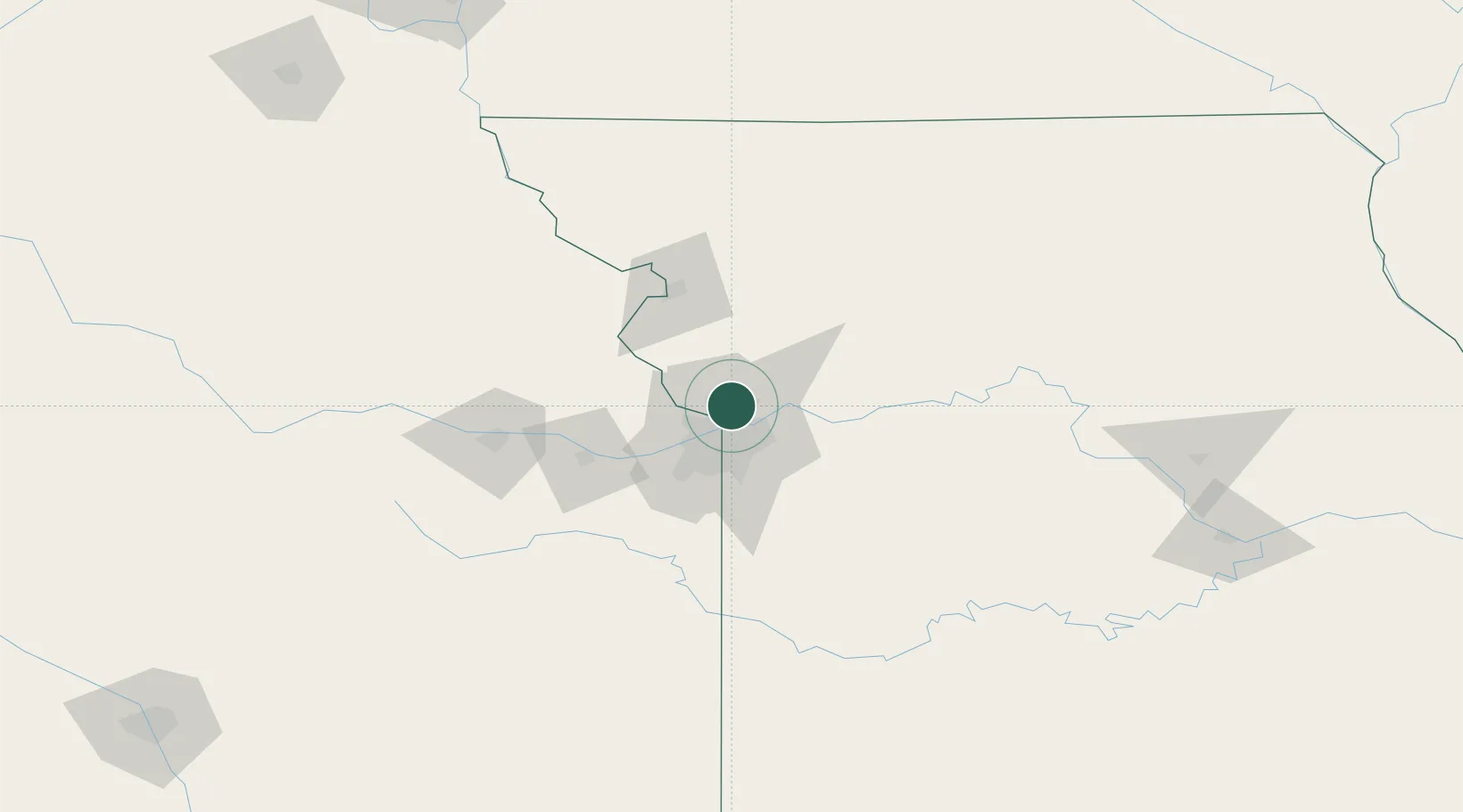
Gladstone
39.2167°, -94.5667°
26,861
Population
2
Transport functions
Transport Functions
Road
Multimodal
Hub Profile
Place type
Populated place
Region
Missouri
Population
26,861
Time zone
America/Chicago
Elevation
287 m
Location
Nearby Logistics Neighbours
Cities
- 1Northmoor5 km
- 2Riverside6 km
- 3Parkville10 km
- 4Liberty15 km
- 5Kansas City19 km
Ports
- 1Port Of Memphis604 km
- 2Calumet Harbor658 km
- 3Chicago659 km
- 4Indiana Harbor662 km
- 5Wilmette662 km
Airports
Trade Zones
- 1FTZ No. 017 Kansas City29 km
- 2FTZ No. 015 Kansas City51 km
- 3FTZ No. 133 Quad-Cities, Iowa Illinois182 km
- 4FTZ No. 225 Springfield256 km
- 5FTZ No. 059 Lincoln261 km
DatabookThe Record of Consolidated Knowledge
United States beyond logistics?