UN/LOCODE hub · United States
USMKC
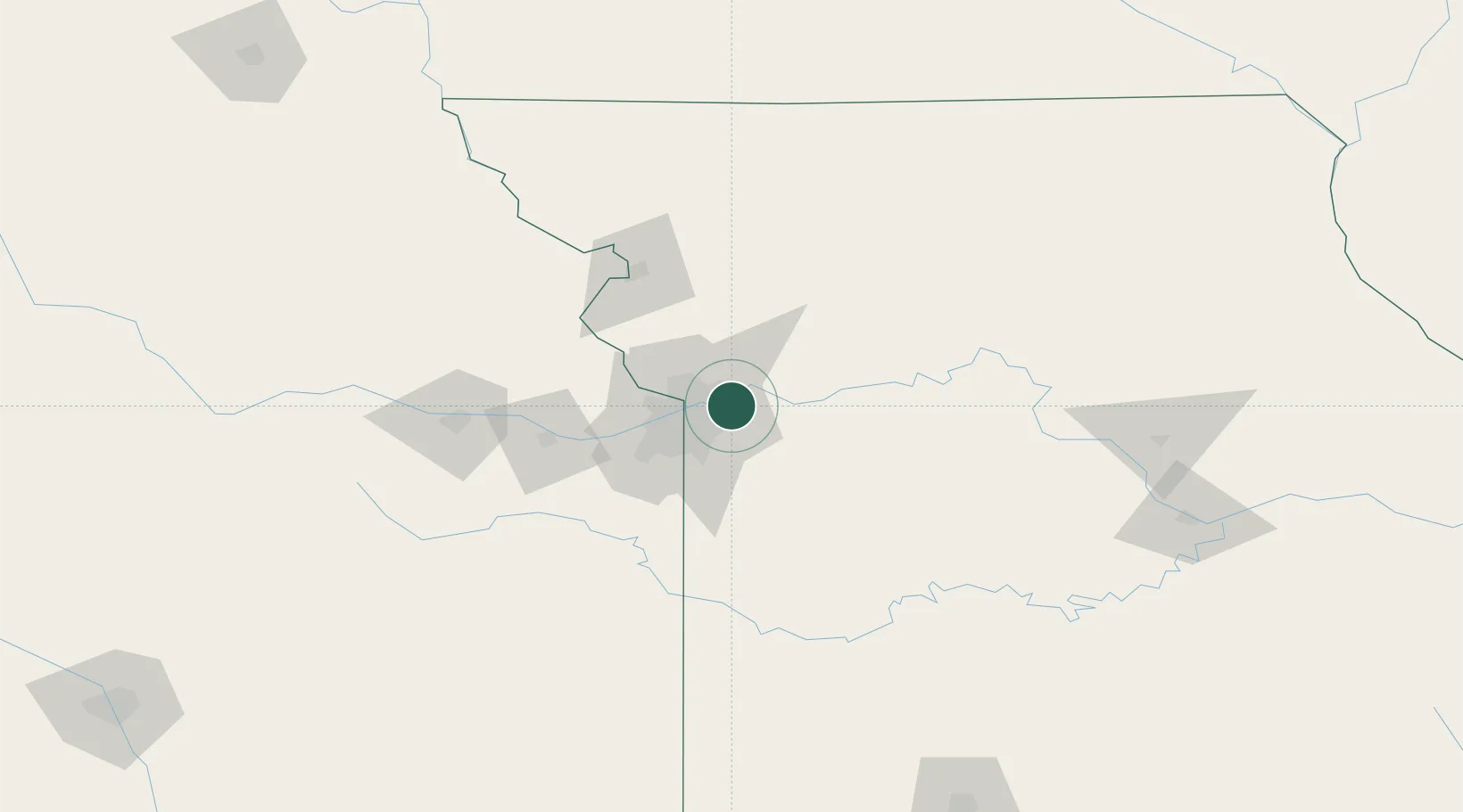
Kansas City
39.1278°, -94.3845°
475,378
Population
5
Transport functions
Transport Functions
Port
Rail
Road
Airport
Postal
Hub Profile
Place type
Populated place
Region
Missouri
Population
475,378
Time zone
America/Chicago
Elevation
274 m
Logistics facilities
48
Location
Nearby Logistics Neighbours
Cities
- 1Kansas City7 km
- 2Liberty8 km
- 3Raytown15 km
- 4Gladstone19 km
- 5Riverside19 km
Ports
- 1Port Of Memphis586 km
- 2Calumet Harbor649 km
- 3Chicago650 km
- 4Indiana Harbor653 km
- 5Wilmette654 km
Airports
Trade Zones
- 1FTZ No. 017 Kansas City41 km
- 2FTZ No. 015 Kansas City55 km
- 3FTZ No. 133 Quad-Cities, Iowa Illinois201 km
- 4FTZ No. 225 Springfield240 km
- 5FTZ No. 059 Lincoln279 km
DatabookThe Record of Consolidated Knowledge
United States beyond logistics?