UN/LOCODE hub · United States
USZEC
Commerce
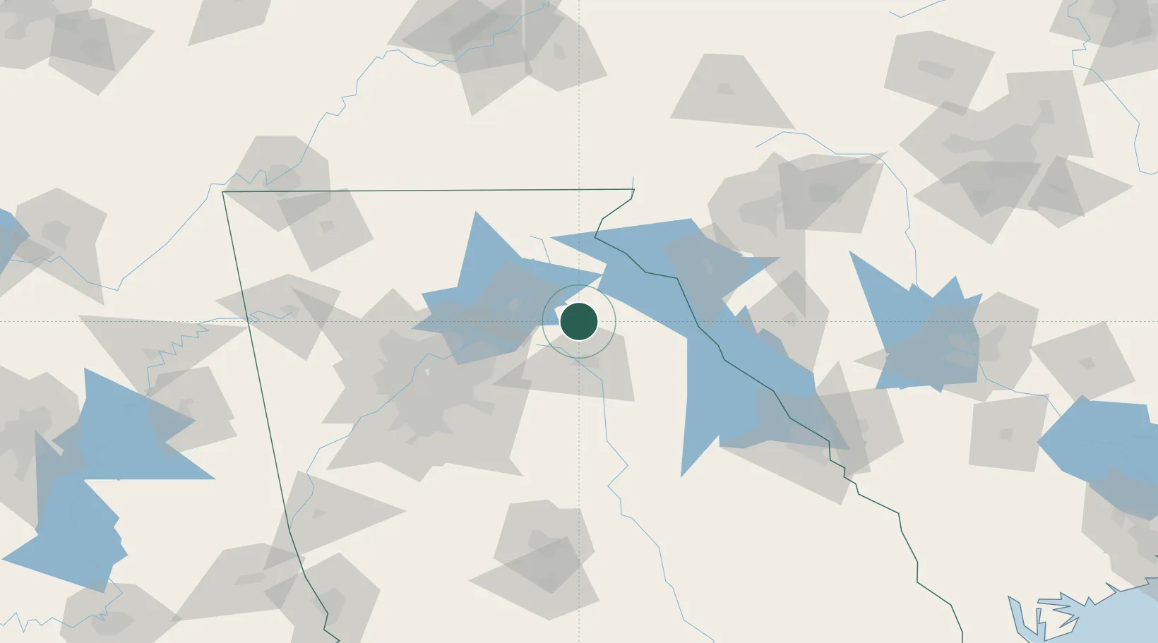
34.2000°, -83.4500°
6,762
Population
4
Transport functions
Transport Functions
Port
Rail
Road
Multimodal
Hub Profile
Place type
Populated place
Region
Georgia
Population
6,762
Time zone
America/New_York
Elevation
278 m
Location
Nearby Logistics Neighbours
Cities
- 1Maysville11 km
- 2Jefferson, Jackson15 km
- 3Gillsville20 km
- 4Talmo25 km
- 5Lula27 km
Ports
- 1Savannah322 km
- 2Beaufort325 km
- 3Port Royal328 km
- 4Charleston364 km
- 5Darien367 km
Airports
Trade Zones
- 1FTZ No. 026 Atlanta100 km
- 2FTZ No. 038 Spartanburg County134 km
- 3FTZ No. 134 Chattanooga203 km
- 4FTZ No. 148 Knoxville211 km
- 5FTZ No. 127 West Columbia215 km
DatabookThe Record of Consolidated Knowledge
United States beyond logistics?