Transport Functions
Port
Rail
Road
Hub Profile
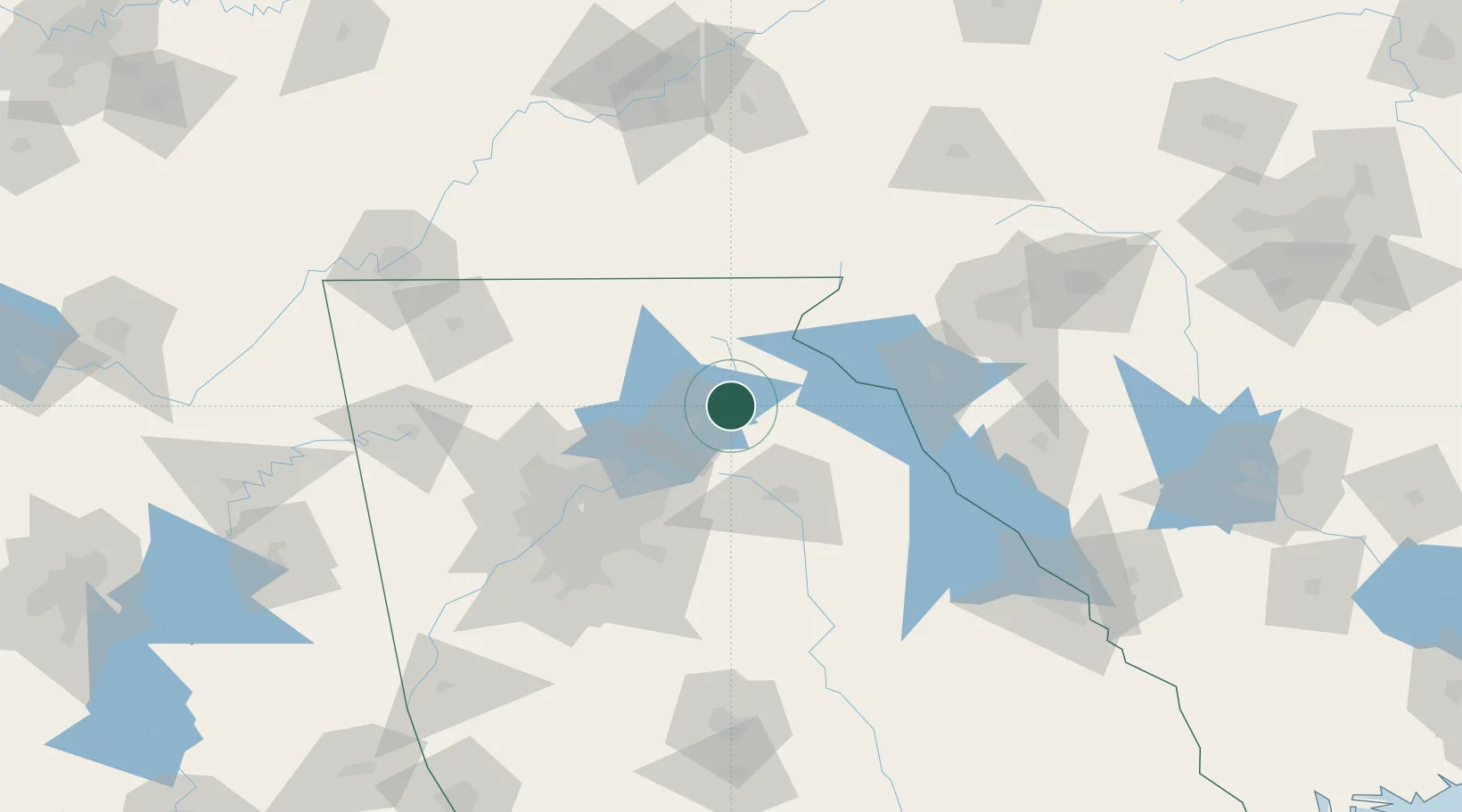
Place type
Populated place
Region
Georgia
Population
2,879
Time zone
America/New_York
Elevation
396 m
Location
Nearby Logistics Neighbours
Cities
- 1Gillsville9 km
- 2Alto12 km
- 3Clermont14 km
- 4Maysville17 km
- 5Talmo23 km
Ports
- 1Savannah350 km
- 2Beaufort352 km
- 3Port Royal355 km
- 4Charleston389 km
- 5Darien394 km
Airports
Trade Zones
- 1FTZ No. 026 Atlanta97 km
- 2FTZ No. 038 Spartanburg County140 km
- 3FTZ No. 134 Chattanooga177 km
- 4FTZ No. 148 Knoxville186 km
- 5FTZ No. 127 West Columbia236 km
DatabookThe Record of Consolidated Knowledge
United States beyond logistics?