UN/LOCODE hub · United States
USYVV
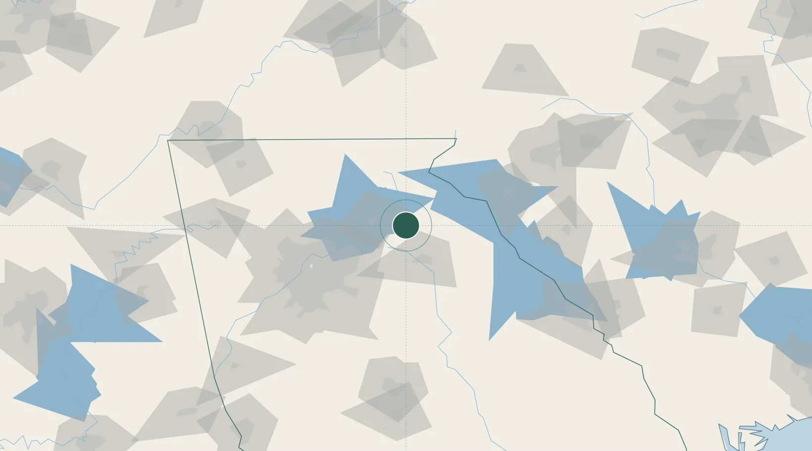
Maysville
34.2500°, -83.5500°
1,866
Population
1
Transport functions
Transport Functions
Multimodal
Hub Profile
Place type
Populated place
Region
Georgia
Population
1,866
Time zone
America/New_York
Elevation
275 m
Location
Nearby Logistics Neighbours
Cities
- 1Gillsville10 km
- 2Commerce11 km
- 3Jefferson, Jackson15 km
- 4Talmo17 km
- 5Lula17 km
Ports
- 1Savannah333 km
- 2Beaufort335 km
- 3Port Royal339 km
- 4Charleston374 km
- 5Darien377 km
Airports
Trade Zones
- 1FTZ No. 026 Atlanta95 km
- 2FTZ No. 038 Spartanburg County139 km
- 3FTZ No. 134 Chattanooga192 km
- 4FTZ No. 148 Knoxville203 km
- 5FTZ No. 127 West Columbia225 km
DatabookThe Record of Consolidated Knowledge
United States beyond logistics?