Transport Functions
Rail
Road
Multimodal
Hub Profile
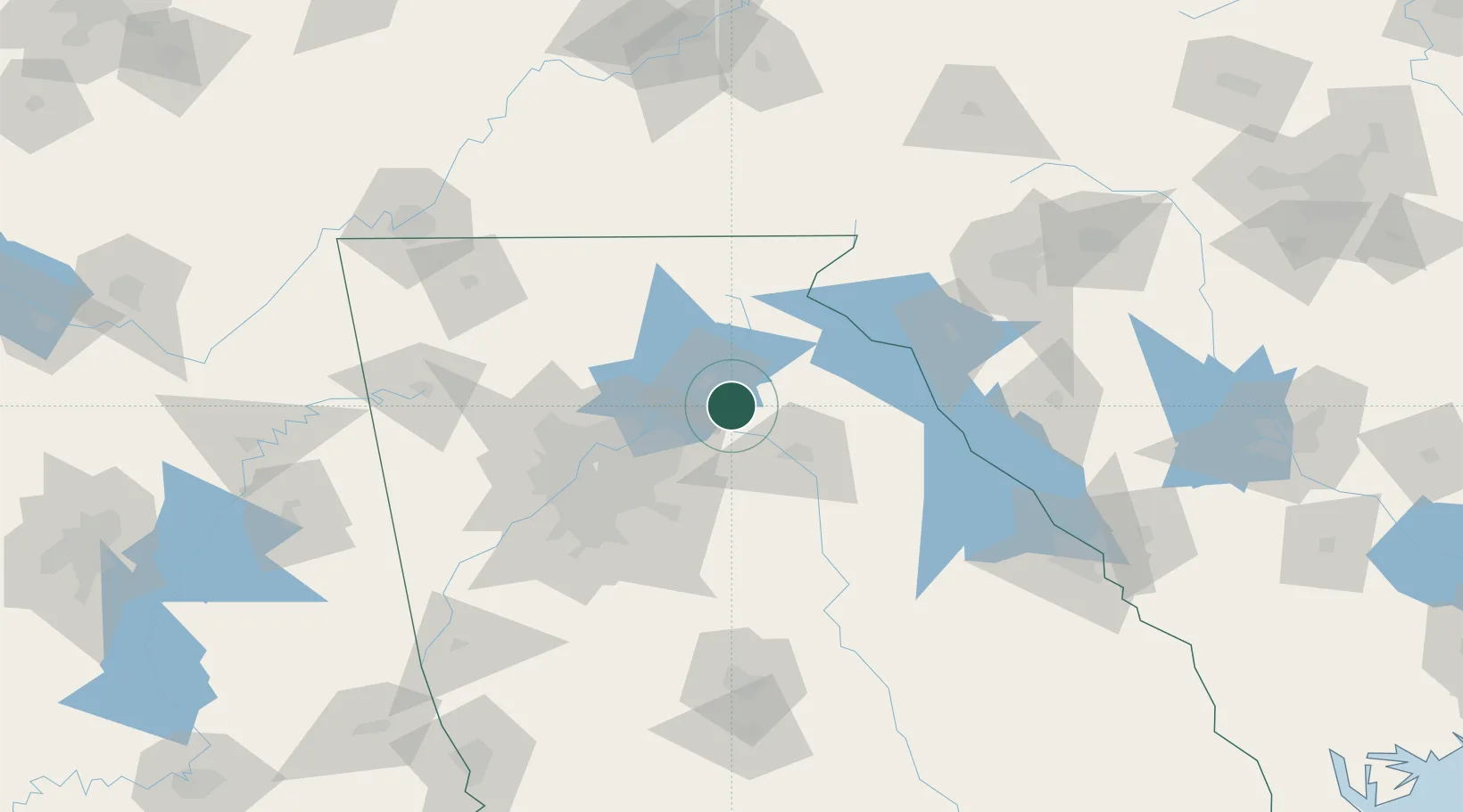
Place type
Populated place
Region
Georgia
Population
192
Time zone
America/New_York
Elevation
279 m
Location
Nearby Logistics Neighbours
Cities
- 1Braselton10 km
- 2Jefferson, Jackson14 km
- 3Gillsville15 km
- 4Maysville17 km
- 5Lula23 km
Ports
- 1Savannah339 km
- 2Beaufort344 km
- 3Port Royal347 km
- 4Darien379 km
- 5Charleston385 km
Airports
Trade Zones
- 1FTZ No. 026 Atlanta78 km
- 2FTZ No. 038 Spartanburg County156 km
- 3FTZ No. 134 Chattanooga183 km
- 4FTZ No. 148 Knoxville206 km
- 5FTZ No. 127 West Columbia239 km
DatabookThe Record of Consolidated Knowledge
United States beyond logistics?