Transport Functions
Rail
Road
Multimodal
Hub Profile
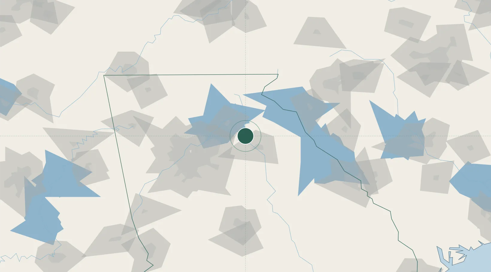
Region
GA
Location
Nearby Logistics Neighbours
Ports
- 1Savannah325 km
- 2Beaufort330 km
- 3Port Royal333 km
- 4Darien366 km
- 5Charleston371 km
Airports
Trade Zones
- 1FTZ No. 026 Atlanta84 km
- 2FTZ No. 038 Spartanburg County149 km
- 3FTZ No. 134 Chattanooga197 km
- 4FTZ No. 148 Knoxville216 km
- 5FTZ No. 127 West Columbia227 km
DatabookThe Record of Consolidated Knowledge
United States beyond logistics?