UN/LOCODE hub · United States
USGV3
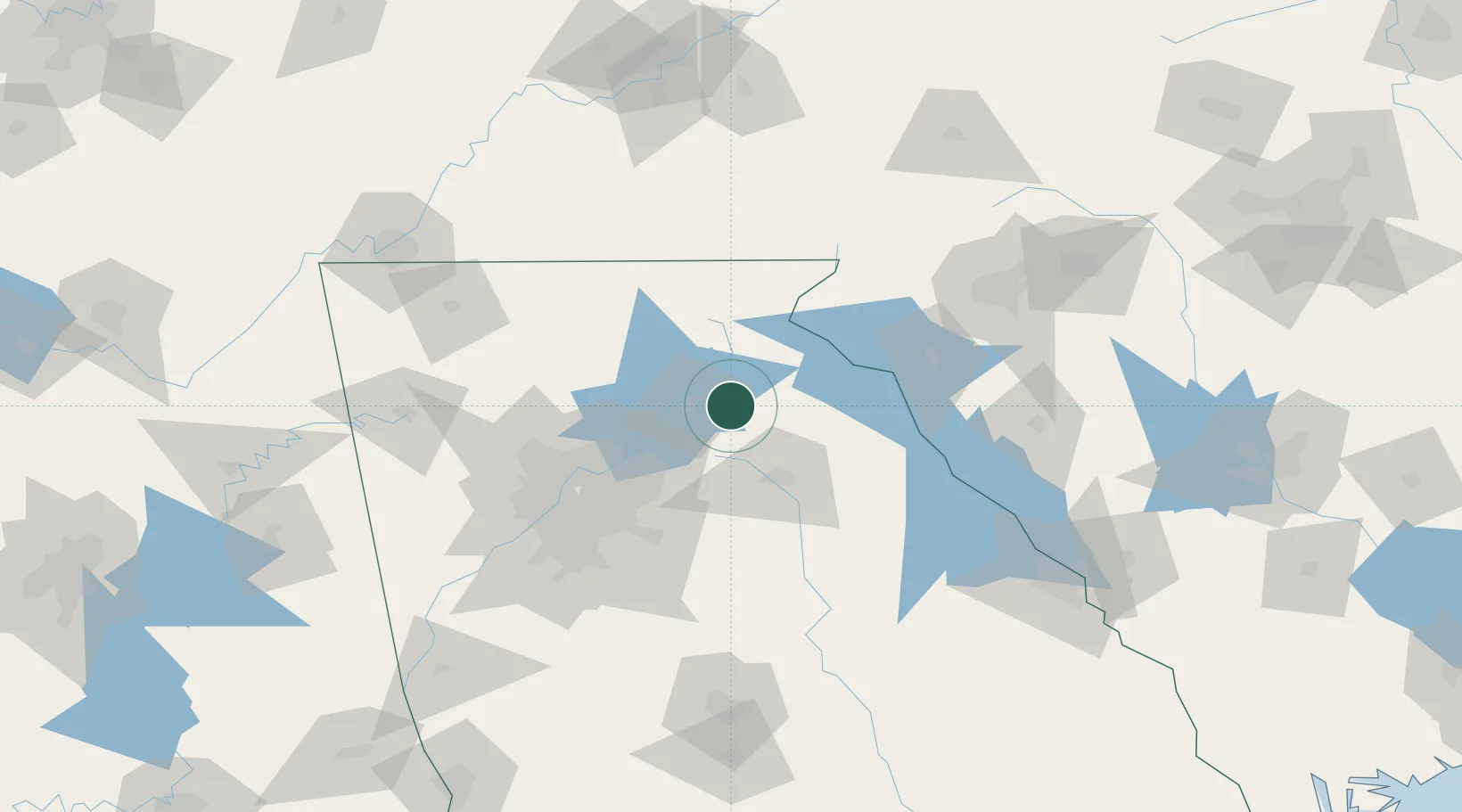
Gillsville
34.3000°, -83.6333°
247
Population
2
Transport functions
Transport Functions
Rail
Road
Hub Profile
Place type
Populated place
Region
Georgia
Population
247
Time zone
America/New_York
Elevation
287 m
Location
Nearby Logistics Neighbours
Ports
- 1Savannah342 km
- 2Beaufort345 km
- 3Port Royal348 km
- 4Charleston384 km
- 5Darien386 km
Airports
Trade Zones
- 1FTZ No. 026 Atlanta92 km
- 2FTZ No. 038 Spartanburg County143 km
- 3FTZ No. 134 Chattanooga183 km
- 4FTZ No. 148 Knoxville195 km
- 5FTZ No. 127 West Columbia233 km
DatabookThe Record of Consolidated Knowledge
United States beyond logistics?