Transport Functions
Rail
Road
Hub Profile
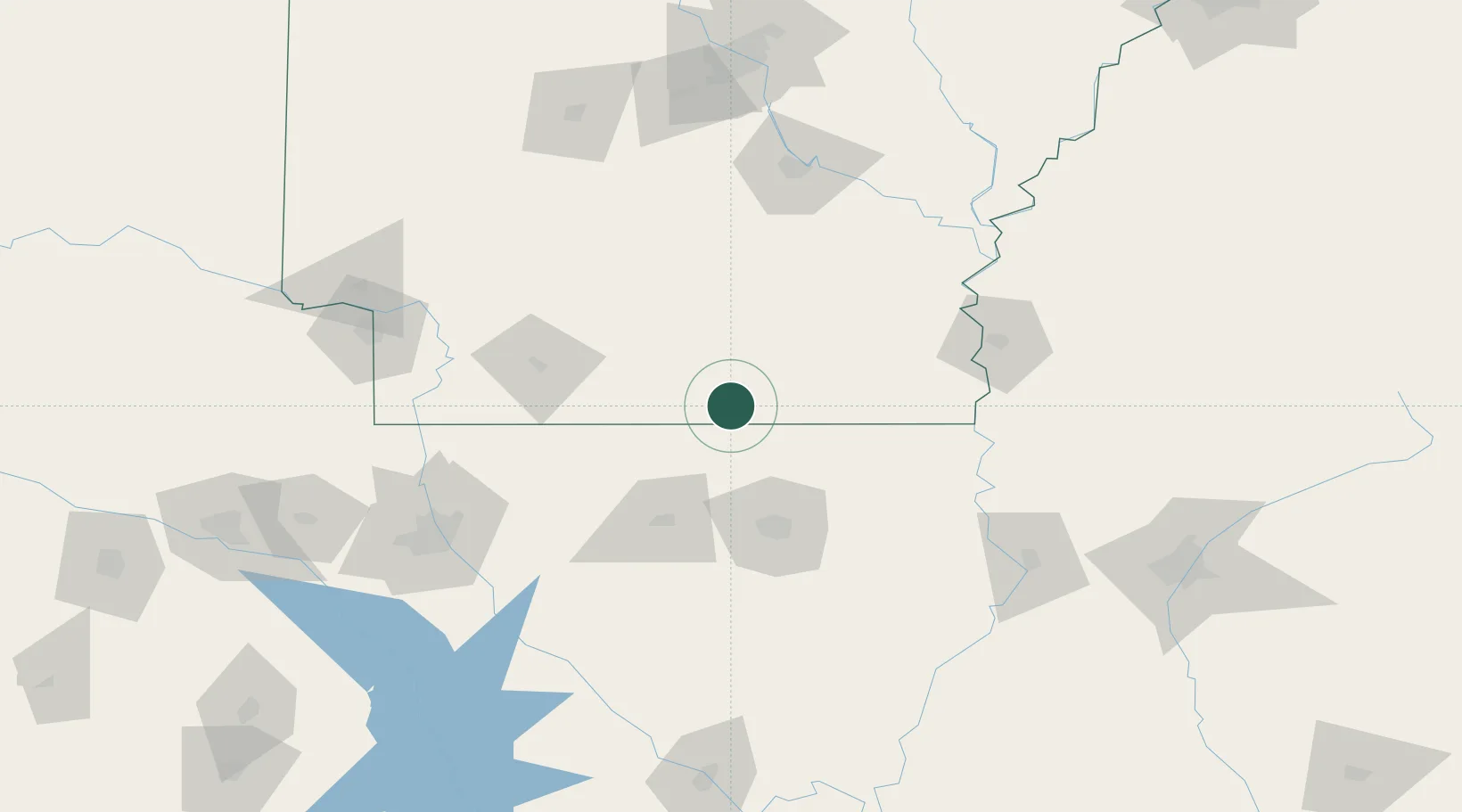
Place type
Populated place
Region
Arkansas
Population
558
Time zone
America/Chicago
Elevation
30 m
Location
Nearby Logistics Neighbours
Ports
- 1Port Of Memphis296 km
- 2Baton Rouge314 km
- 3Lake Charles332 km
- 4Orange361 km
- 5Madisonville364 km
Airports
Trade Zones
- 1FTZ No. 145 Shreveport167 km
- 2FTZ No. 146 Lawrence County167 km
- 3FTZ No. 158 Vicksburg Jackson169 km
- 4FTZ No. 014 Little Rock180 km
- 5FTZ No. 258 Bowie County222 km
DatabookThe Record of Consolidated Knowledge
United States beyond logistics?