Transport Functions
Road
Multimodal
Hub Profile
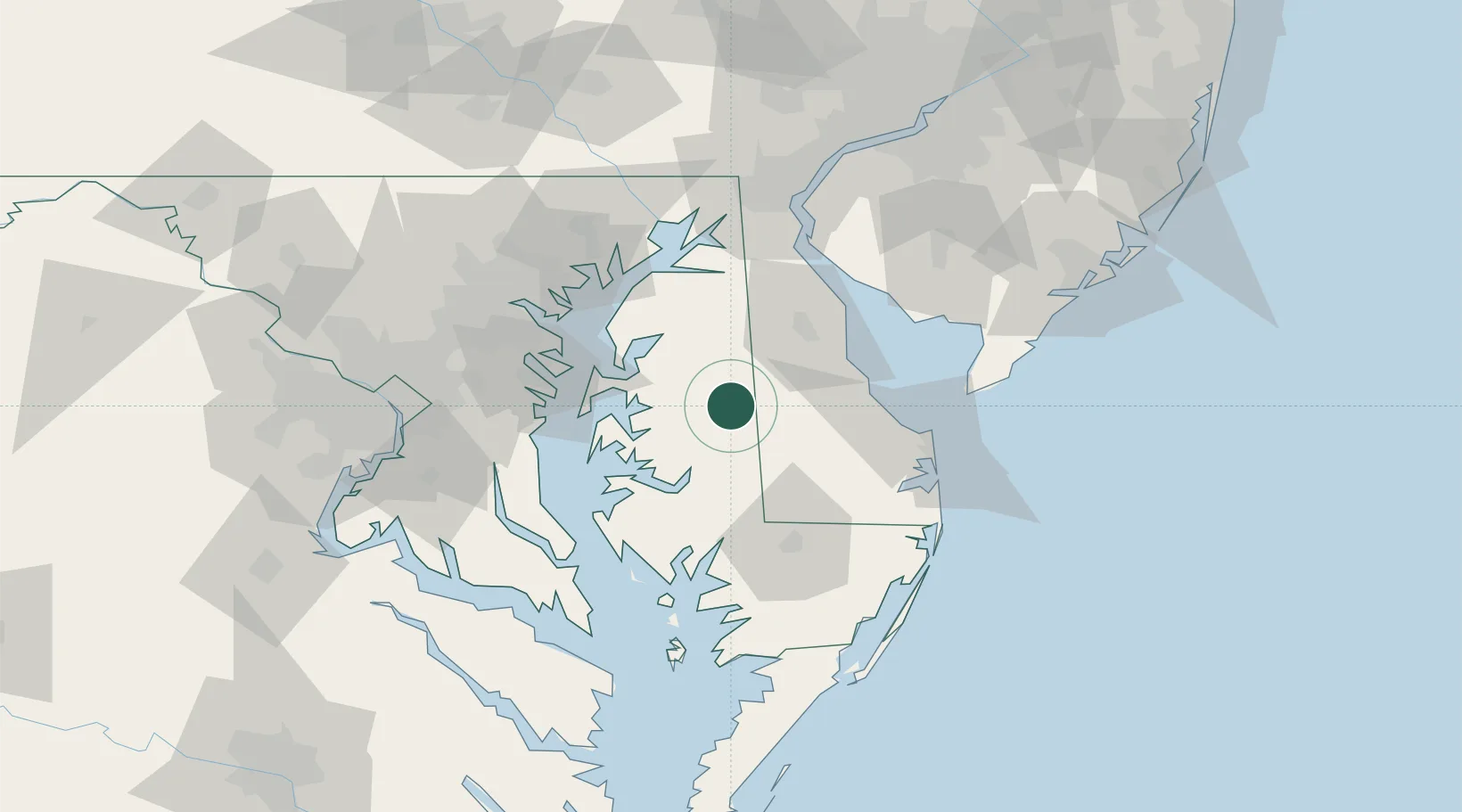
Place type
Provincial seat
Region
Maryland
Population
4,349
Time zone
America/New_York
Elevation
13 m
Location
Nearby Logistics Neighbours
Cities
- 1Ridgely9 km
- 2Greenwood21 km
- 3Bridgeville24 km
- 4Barclay28 km
- 5Wyoming34 km
Ports
- 1Annapolis59 km
- 2Salisbury61 km
- 3Havre De Grace76 km
- 4Baltimore79 km
- 5Solomons Island84 km
Airports
Trade Zones
DatabookThe Record of Consolidated Knowledge
United States beyond logistics?