Transport Functions
Rail
Road
Hub Profile
Place type
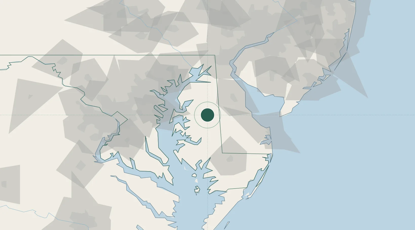
Populated place
Region
Maryland
Population
1,615
Time zone
America/New_York
Elevation
18 m
Location
Nearby Logistics Neighbours
Cities
- 1Denton9 km
- 2Barclay20 km
- 3Greenwood30 km
- 4Wyoming33 km
- 5Bridgeville33 km
Ports
- 1Annapolis52 km
- 2Havre De Grace67 km
- 3Salisbury69 km
- 4Baltimore70 km
- 5New Castle83 km
Airports
Trade Zones
DatabookThe Record of Consolidated Knowledge
United States beyond logistics?