UN/LOCODE hub · United States
USGKO
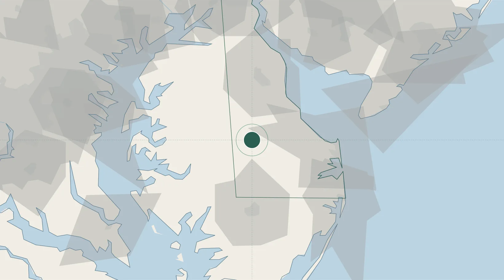
Greenwood
38.8000°, -75.6000°
1,066
Population
2
Transport functions
Transport Functions
Rail
Road
Hub Profile
Place type
Populated place
Region
Delaware
Population
1,066
Time zone
America/New_York
Elevation
14 m
Location
Nearby Logistics Neighbours
Cities
- 1Bridgeville6 km
- 2Denton21 km
- 3Frederica26 km
- 4Laurel28 km
- 5Ridgely30 km
Ports
- 1Salisbury48 km
- 2Ocean City69 km
- 3Annapolis79 km
- 4Solomons Island91 km
- 5Havre De Grace92 km
Airports
Trade Zones
- 1FTZ No. 142 Salem Millville78 km
- 2FTZ No. 074 Baltimore101 km
- 3FTZ No. 073 BWI Airport101 km
- 4FTZ No. 099 Wilmington105 km
- 5FTZ No. 063 PrInce Georges County135 km
DatabookThe Record of Consolidated Knowledge
United States beyond logistics?