Transport Functions
Rail
Road
Hub Profile
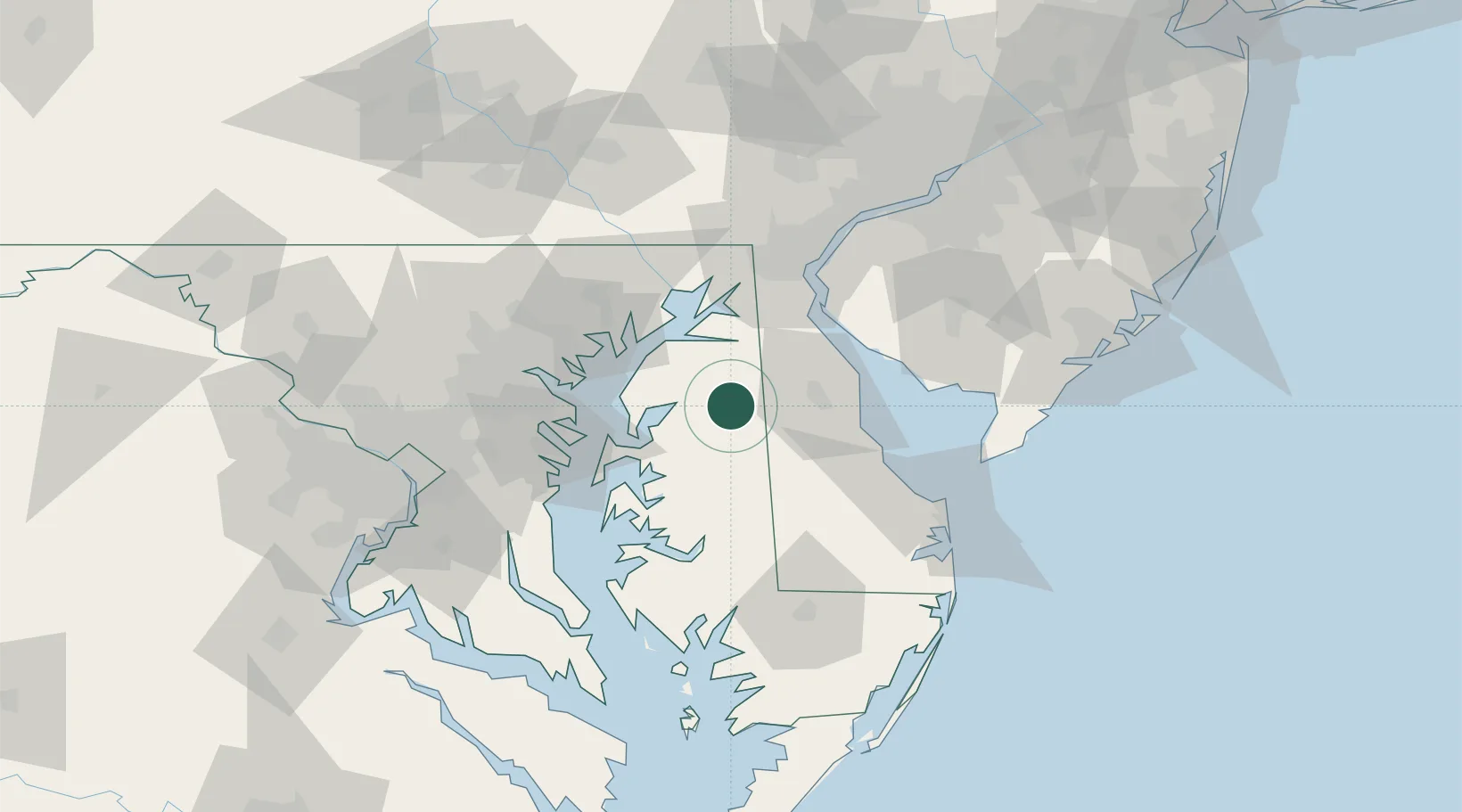
Place type
Populated place
Region
Maryland
Population
118
Time zone
America/New_York
Elevation
20 m
Location
Nearby Logistics Neighbours
Cities
- 1Massey19 km
- 2Ridgely20 km
- 3Kennedyville22 km
- 4Wyoming26 km
- 5Denton28 km
Ports
- 1Havre De Grace48 km
- 2Annapolis56 km
- 3New Castle63 km
- 4Baltimore64 km
- 5Salem Nj68 km
Airports
Trade Zones
- 1FTZ No. 074 Baltimore65 km
- 2FTZ No. 073 BWI Airport69 km
- 3FTZ No. 142 Salem Millville70 km
- 4FTZ No. 099 Wilmington73 km
- 5FTZ No. 035 Philadelphia110 km
DatabookThe Record of Consolidated Knowledge
United States beyond logistics?