Medium airport · United States

Martin State AirportKMTN
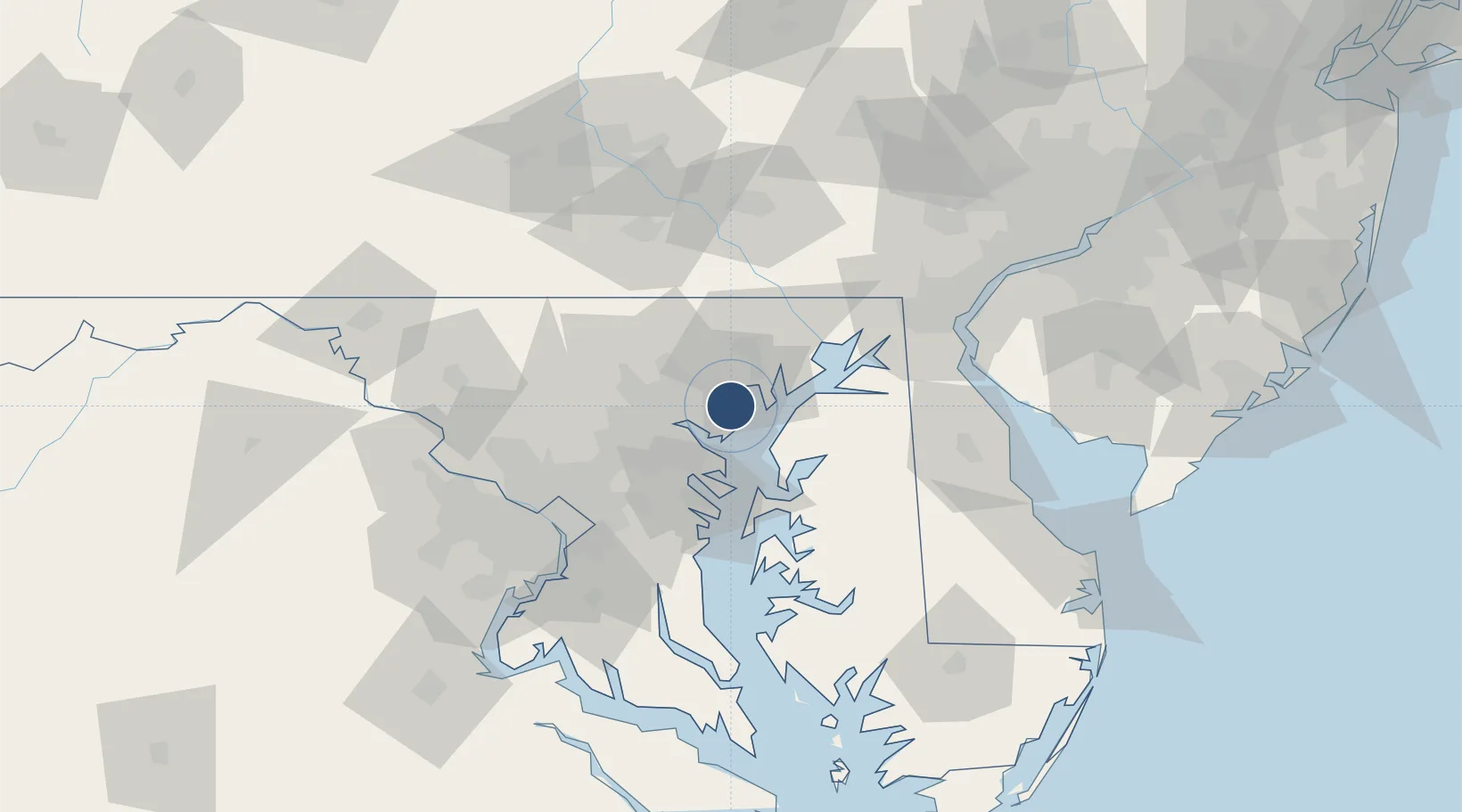
39.3257°, -76.4138°
6,999 ft
Longest runway
1
Runways
21 ft
Elevation

Runway & Layout

Martin State Airport runway & taxiway layout
Runway & taxiway layout — OpenStreetMap (ODbL) / OurAirports

Radio Frequencies

ATIS
124.925 MHz
AWOS
124.925 MHz
AWOS 3
TWR
121.3 MHz
GND
121.8 MHz
CLD
121.8 MHz
POTOMAC CLNC DEL
CTAF
121.3 MHz
A/D
119 MHz
POTOMAC APP/DEP
OPS
38.59 MHz
135 AG COMD POST
POST
34.72 MHz
175 FG COMD POST
UNIC
122.95 MHz
UNICOM
OurAirports

Navaids

MTN NDB Martin 342 kHz
OurAirports

Runways · 1

RunwayDimensions SurfaceTrue headingLit
15/33 6,999 × 150ft Concrete 135°
OurAirports

Airport Specifications

IATA code
MTN
OurAirports
ICAO code
KMTN
OurAirports
Airport class
Medium airport
OurAirports
Scheduled service
No
OurAirports
Runway surface
Concrete
OurAirports
Served city
Baltimore
OurAirports

Location

Location of KMTN
Natural Earth 10m (public domain) · Maryland · KMTN · 39.33, -76.41GoogleOSMYandex

Nearby Logistics Neighbours

Airports
  1. 1Phillips Army Air Field26 km
  2. 2Baltimore/Washington International Thurgood Marshall Airport28 km
  3. 3Fort Meade Executive Airport40 km
  4. 4Joint Base Andrews69 km
  5. 5Ronald Reagan Washington National Airport75 km
Nearest neighbours — logibook spatial index (haversine) over the source coordinates
Cities
  1. 1Edgewater2 km
  2. 2Essex5 km
  3. 3Rosedale8 km
  4. 4White Marsh8 km
  5. 5Perry Hall9 km
Nearest neighbours — logibook spatial index (haversine) over the source coordinates
Ports
  1. 1Baltimore16 km
  2. 2Havre De Grace37 km
  3. 3Annapolis39 km
  4. 4Washington D.C.74 km
  5. 5Alexandria79 km
Nearest neighbours — logibook spatial index (haversine) over the source coordinates
Trade Zones
  1. 1FTZ No. 074 Baltimore18 km
  2. 2FTZ No. 073 BWI Airport27 km
  3. 3FTZ No. 063 PrInce Georges County85 km
  4. 4FTZ No. 099 Wilmington88 km
  5. 5FTZ No. 137 Washington Dulles International Airport99 km
Nearest neighbours — logibook spatial index (haversine) over the source coordinates
DatabookThe Record of Consolidated Knowledge
United States beyond logistics?
Browse databook

All Sources

AirportsOurAirports
Public domain
Portsthe NGA World Port Index
Public domain (US gov)
LocationsUN/LOCODE
UN/LOCODE — free
Trade Zonesthe World Bank SEZ database
CC BY 4.0
Trade ZonesOpen Zone Map
CC BY
InfrastructureOpenStreetMap
ODbL 1.0
← United States airports