UN/LOCODE hub · United States
USXZX
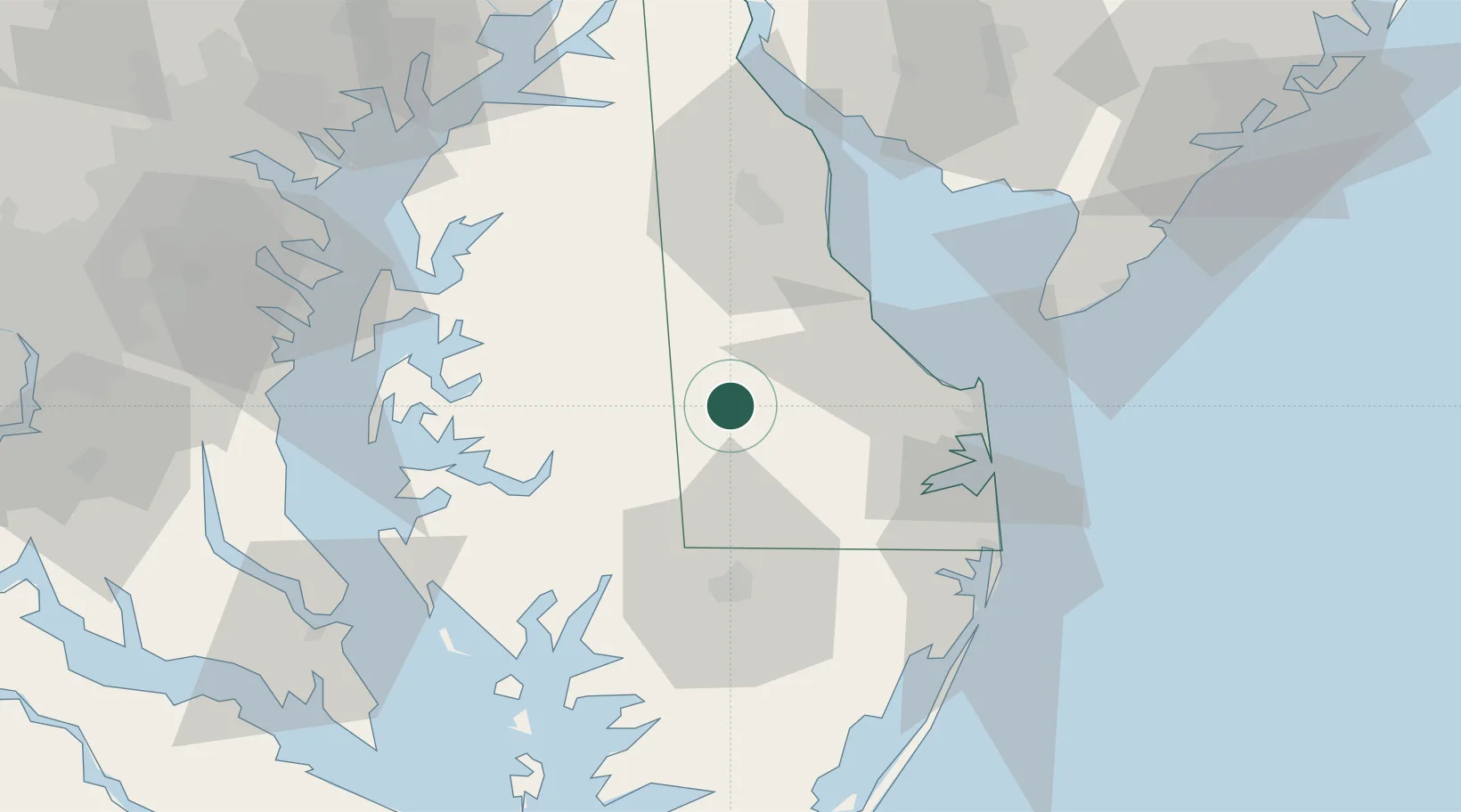
Bridgeville
38.7500°, -75.6000°
2,256
Population
2
Transport functions
Transport Functions
Rail
Road
Hub Profile
Place type
Populated place
Region
Delaware
Population
2,256
Time zone
America/New_York
Elevation
13 m
Location
Nearby Logistics Neighbours
Ports
- 1Salisbury43 km
- 2Ocean City65 km
- 3Annapolis81 km
- 4Solomons Island88 km
- 5Havre De Grace97 km
Airports
Trade Zones
- 1FTZ No. 142 Salem Millville82 km
- 2FTZ No. 073 BWI Airport104 km
- 3FTZ No. 074 Baltimore104 km
- 4FTZ No. 099 Wilmington111 km
- 5FTZ No. 063 PrInce Georges County136 km
DatabookThe Record of Consolidated Knowledge
United States beyond logistics?