UN/LOCODE hub · United States
USZDJ
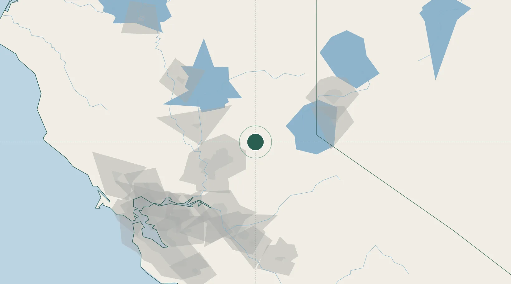
Georgetown
38.9000°, -120.8333°
2,367
Population
1
Transport functions
Transport Functions
Multimodal
Hub Profile
Place type
Populated place
Region
California
Population
2,367
Time zone
America/Los_Angeles
Elevation
809 m
Location
Nearby Logistics Neighbours
Cities
- 1Garden Valley6 km
- 2Colfax24 km
- 3Rescue24 km
- 4El Dorado26 km
- 5Shingle Springs29 km
Ports
- 1Sacramento68 km
- 2Courtland90 km
- 3Walnut Grove95 km
- 4Isleton105 km
- 5Rio Vista112 km
Airports
- 1McClellan Airfield56 km
- 2Sacramento Mather Airport56 km
- 3Beale Air Force Base58 km
- 4Yuba County Airport67 km
- 5Sacramento International Airport70 km
Trade Zones
- 1FTZ No. 143 West Sacramento70 km
- 2FTZ No. 231 Stockton114 km
- 3FTZ No. 126 Sparks117 km
- 4FTZ No. 056 Oakland175 km
- 5FTZ No. 226 Merced, Madera and Fresno Counties180 km
DatabookThe Record of Consolidated Knowledge
United States beyond logistics?