UN/LOCODE hub · United States
USXSH
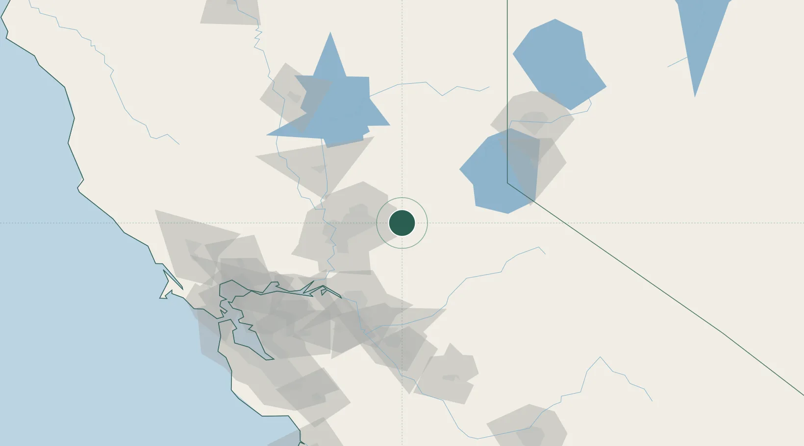
Shingle Springs
38.6500°, -120.9167°
4,432
Population
4
Transport functions
Transport Functions
Port
Rail
Road
Multimodal
Hub Profile
Place type
Populated place
Region
California
Population
4,432
Time zone
America/Los_Angeles
Elevation
433 m
Location
Nearby Logistics Neighbours
Cities
- 1El Dorado6 km
- 2Rescue6 km
- 3El Dorado Hills13 km
- 4Fiddletown22 km
- 5Garden Valley23 km
Ports
- 1Sacramento51 km
- 2Courtland67 km
- 3Walnut Grove70 km
- 4Isleton80 km
- 5Stockton85 km
Airports
Trade Zones
- 1FTZ No. 143 West Sacramento53 km
- 2FTZ No. 231 Stockton86 km
- 3FTZ No. 126 Sparks142 km
- 4FTZ No. 056 Oakland151 km
- 5FTZ No. 226 Merced, Madera and Fresno Counties154 km
DatabookThe Record of Consolidated Knowledge
United States beyond logistics?