Transport Functions
Port
Hub Profile
Place type
Populated place
Region
California
Time zone
America/Los_Angeles
Elevation
594 m
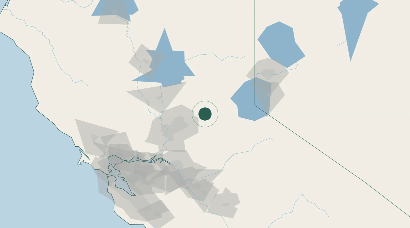
Location
Nearby Logistics Neighbours
Cities
- 1Georgetown6 km
- 2Rescue19 km
- 3El Dorado20 km
- 4Shingle Springs23 km
- 5El Dorado Hills28 km
Ports
- 1Sacramento64 km
- 2Courtland85 km
- 3Walnut Grove90 km
- 4Isleton100 km
- 5Rio Vista107 km
Airports
Trade Zones
- 1FTZ No. 143 West Sacramento66 km
- 2FTZ No. 231 Stockton108 km
- 3FTZ No. 126 Sparks122 km
- 4FTZ No. 056 Oakland170 km
- 5FTZ No. 226 Merced, Madera and Fresno Counties175 km
DatabookThe Record of Consolidated Knowledge
United States beyond logistics?