UN/LOCODE hub · United States
USEDJ

El Dorado

38.6667°, -120.8500°
3
Transport functions

Transport Functions

Rail
Road
Multimodal
UN/LOCODE

Hub Profile

Place type
Urban district
GeoNames
Region
California
GeoNames
Time zone
America/Los_Angeles
GeoNames
Elevation
490 m
GeoNames

Location

Location of USEDJ
Natural Earth 10m (public domain) · California · USEDJ · 38.67, -120.85GoogleOSMYandex

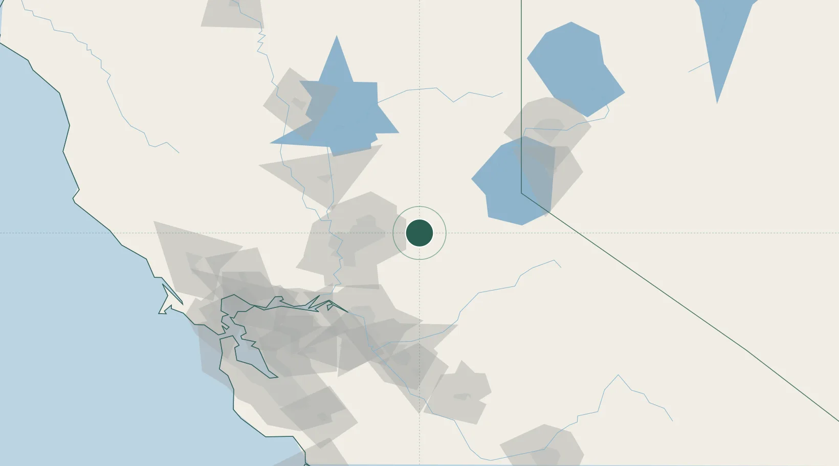
Nearby Logistics Neighbours

Cities
  1. 1Shingle Springs6 km
  2. 2Rescue9 km
  3. 3El Dorado Hills19 km
  4. 4Fair Play20 km
  5. 5Garden Valley20 km
Nearest neighbours — logibook spatial index (haversine) over the source coordinates
Ports
  1. 1Sacramento57 km
  2. 2Courtland73 km
  3. 3Walnut Grove75 km
  4. 4Isleton86 km
  5. 5Stockton89 km
Nearest neighbours — logibook spatial index (haversine) over the source coordinates
Airports
  1. 1Sacramento Mather Airport41 km
  2. 2McClellan Airfield48 km
  3. 3Sacramento Executive Airport59 km
  4. 4Sacramento International Airport64 km
  5. 5Beale Air Force Base73 km
Nearest neighbours — logibook spatial index (haversine) over the source coordinates
Trade Zones
  1. 1FTZ No. 143 West Sacramento59 km
  2. 2FTZ No. 231 Stockton90 km
  3. 3FTZ No. 126 Sparks137 km
  4. 4FTZ No. 226 Merced, Madera and Fresno Counties155 km
  5. 5FTZ No. 056 Oakland157 km
Nearest neighbours — logibook spatial index (haversine) over the source coordinates
DatabookThe Record of Consolidated Knowledge
United States beyond logistics?
Browse databook

All Sources

LocationsUN/LOCODE
UN/LOCODE — free
Portsthe NGA World Port Index
Public domain (US gov)
AirportsOurAirports
Public domain
Trade Zonesthe World Bank SEZ database
CC BY 4.0
Trade ZonesOpen Zone Map
CC BY
← United States locations