Transport Functions
Rail
Road
Hub Profile
Place type
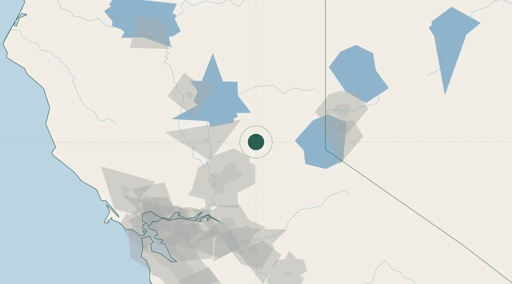
Populated place
Region
California
Population
1,995
Time zone
America/Los_Angeles
Elevation
739 m
Location
Nearby Logistics Neighbours
Cities
- 1Penn Valley22 km
- 2Georgetown24 km
- 3Garden Valley29 km
- 4Emigrant Gap32 km
- 5Granite Bay42 km
Ports
- 1Sacramento75 km
- 2Courtland101 km
- 3Walnut Grove108 km
- 4Isleton118 km
- 5Rio Vista124 km
Airports
- 1Beale Air Force Base42 km
- 2Yuba County Airport54 km
- 3McClellan Airfield62 km
- 4Sacramento Mather Airport68 km
- 5Sacramento International Airport71 km
Trade Zones
- 1FTZ No. 143 West Sacramento76 km
- 2FTZ No. 126 Sparks113 km
- 3FTZ No. 231 Stockton132 km
- 4FTZ No. 056 Oakland184 km
- 5FTZ No. 003 San Francisco192 km
DatabookThe Record of Consolidated Knowledge
United States beyond logistics?