UN/LOCODE hub · United States
USKCT
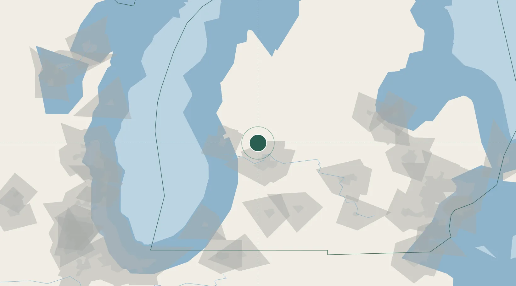
Kent City
43.2167°, -85.7500°
1,102
Population
2
Transport functions
Transport Functions
Rail
Road
Hub Profile
Place type
Populated place
Region
Michigan
Population
1,102
Time zone
America/Detroit
Elevation
247 m
Location
Nearby Logistics Neighbours
Cities
- 1Cedar Springs16 km
- 2Belmont21 km
- 3Marne21 km
- 4Comstock Park21 km
- 5Coopersville22 km
Ports
- 1Muskegon42 km
- 2Grand Haven43 km
- 3White Lake52 km
- 4Holland57 km
- 5Ludington99 km
Airports
Trade Zones
DatabookThe Record of Consolidated Knowledge
United States beyond logistics?