Transport Functions
Rail
Road
Multimodal
Hub Profile
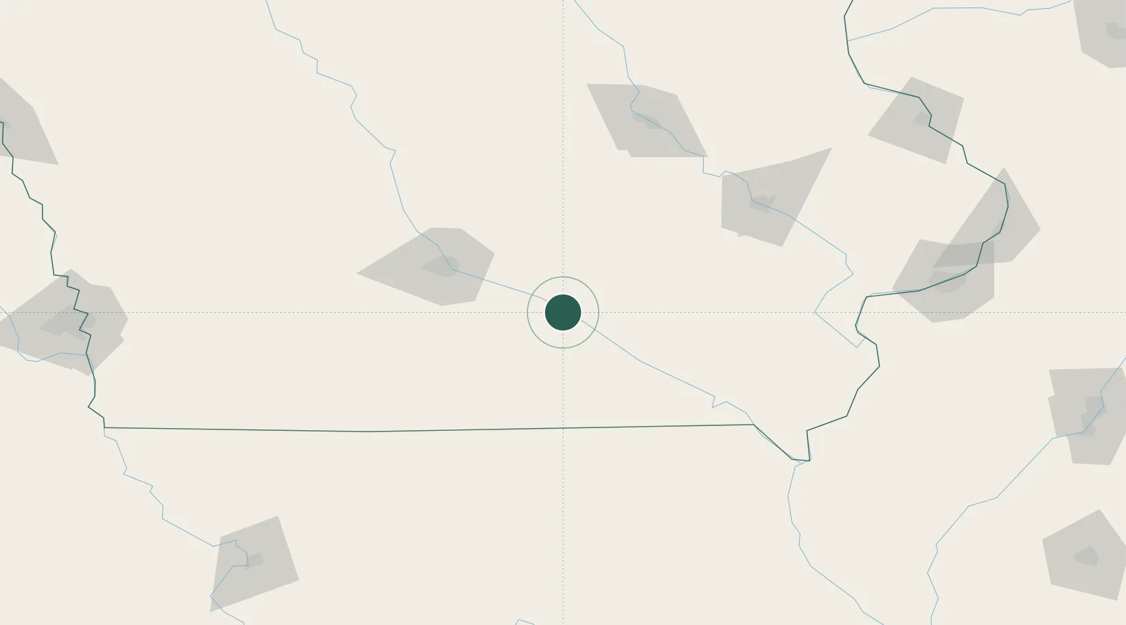
Place type
Populated place
Region
Iowa
Population
238
Time zone
America/Chicago
Elevation
220 m
Location
Nearby Logistics Neighbours
Cities
- 1Taintor26 km
- 2Monroe27 km
- 3Lynnville30 km
- 4Dallas31 km
- 5Prairie City41 km
Ports
- 1Great Lakes435 km
- 2Waukegan438 km
- 3Wilmette443 km
- 4Kenosha445 km
- 5Chicago447 km
Airports
- 1Ottumwa Regional Airport46 km
- 2Des Moines International Airport66 km
- 3The Eastern Iowa Airport119 km
- 4Kirksville Regional Airport140 km
- 5Waterloo Regional Airport144 km
Trade Zones
- 1FTZ No. 107 Polk County77 km
- 2FTZ No. 175 Cedar Rapids117 km
- 3FTZ No. 055 Burlington162 km
- 4FTZ No. 271 Jo-Daviess and Carroll Counties248 km
- 5FTZ No. 114 Peoria288 km
DatabookThe Record of Consolidated Knowledge
United States beyond logistics?