Transport Functions
Rail
Road
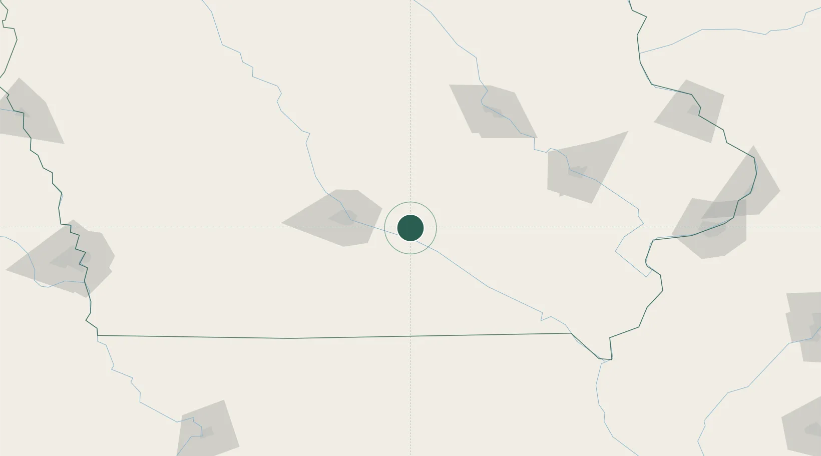
Hub Profile
Place type
Populated place
Region
Iowa
Population
1,831
Time zone
America/Chicago
Elevation
282 m
Location
Nearby Logistics Neighbours
Cities
- 1Prairie City15 km
- 2Lynnville27 km
- 3Kellogg27 km
- 4Harvey27 km
- 5Taintor31 km
Ports
- 1Great Lakes444 km
- 2Waukegan447 km
- 3Kenosha452 km
- 4Wilmette453 km
- 5Chicago458 km
Airports
- 1Des Moines International Airport46 km
- 2Ottumwa Regional Airport71 km
- 3The Eastern Iowa Airport122 km
- 4Waterloo Regional Airport129 km
- 5Fort Dodge Regional Airport146 km
Trade Zones
DatabookThe Record of Consolidated Knowledge
United States beyond logistics?