Transport Functions
Rail
Road
Multimodal
Hub Profile
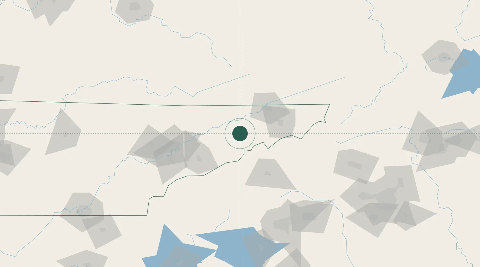
Place type
Populated place
Region
Tennessee
Population
2,343
Time zone
America/New_York
Elevation
393 m
Location
Nearby Logistics Neighbours
Cities
- 1Marvin6 km
- 2Bulls Gap14 km
- 3Whitesburg18 km
- 4Chuckey26 km
- 5White Pine30 km
Ports
- 1Georgetown460 km
- 2Beaufort467 km
- 3Charleston470 km
- 4Port Royal473 km
- 5Savannah488 km
Airports
Trade Zones
- 1FTZ No. 204 Tri-Cities60 km
- 2FTZ No. 148 Knoxville115 km
- 3FTZ No. 038 Spartanburg County158 km
- 4FTZ No. 057 Mecklenburg County199 km
- 5FTZ No. 238 Dublin226 km
DatabookThe Record of Consolidated Knowledge
United States beyond logistics?