Transport Functions
Multimodal
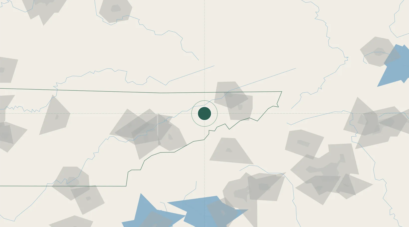
Hub Profile
Place type
Populated place
Region
Tennessee
Time zone
America/New_York
Elevation
353 m
Location
Nearby Logistics Neighbours
Cities
- 1Mosheim6 km
- 2Bulls Gap11 km
- 3Whitesburg14 km
- 4Chuckey27 km
- 5White Pine31 km
Ports
- 1Georgetown464 km
- 2Beaufort473 km
- 3Charleston476 km
- 4Port Royal479 km
- 5Savannah493 km
Airports
Trade Zones
- 1FTZ No. 204 Tri-Cities58 km
- 2FTZ No. 148 Knoxville115 km
- 3FTZ No. 038 Spartanburg County164 km
- 4FTZ No. 057 Mecklenburg County203 km
- 5FTZ No. 238 Dublin225 km
DatabookThe Record of Consolidated Knowledge
United States beyond logistics?