Large airport · United States
McGhee Tyson AirportKTYS
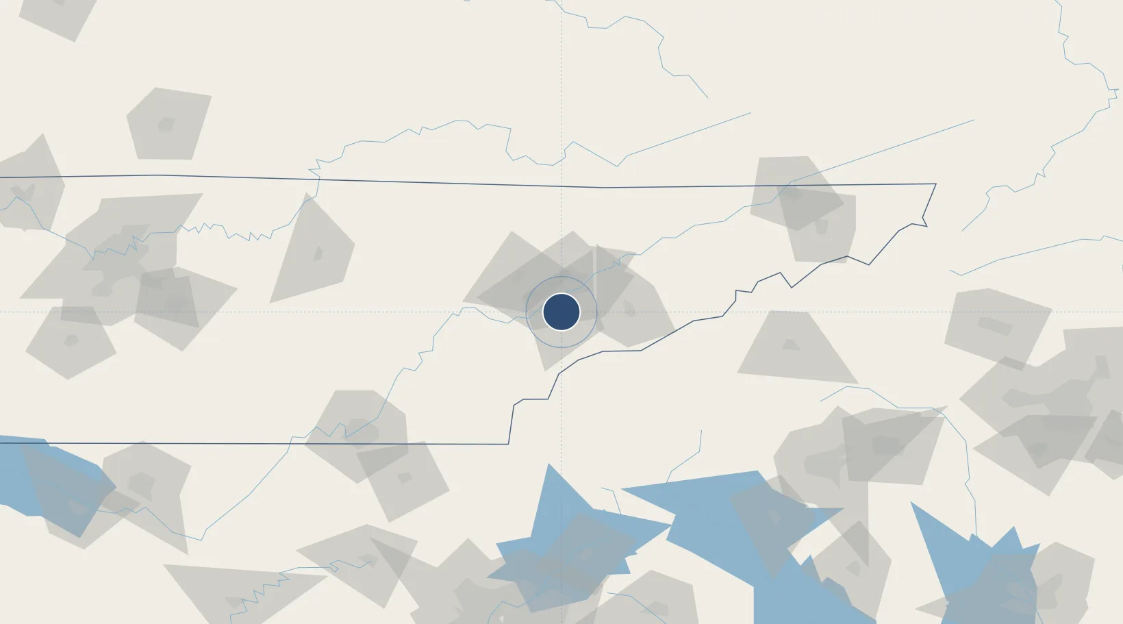
35.8110°, -83.9940°
10,000 ft
Longest runway
2
Runways
981 ft
Elevation
Runway & Layout

Radio Frequencies
ATIS
128.35 MHz
TWR
121.2 MHz
KNOXVILLE TWR
GND
121.9 MHz
KNOXVILLE GND
CLD
121.65 MHz
CLNC DEL
A/D
36.08 MHz
KNOXVILLE APP/DEP
A/D
118 MHz
KNOXVILLE APP/DEP
MISC
41.5 MHz
ARNG OPS
PTD
30.3 MHz
RDO
122.2 MHz
NASHVILLE RDO
UNIC
122.95 MHz
UNICOM
Navaids
TY NDB Benfi 353 kHz
VXV VORTAC Volunteer 116.40 MHz
Runways · 2
| Runway | Dimensions | Surface | True heading | Lit |
|---|---|---|---|---|
| 05L/23R | 10,000 × 150ft | Concrete | 045° | ✓ |
| 05R/23L | 9,000 × 150ft | Asphalt | 045° | ✓ |
Airport Specifications
IATA code
TYS
ICAO code
KTYS
Airport class
Large airport
Scheduled service
Yes
Runway surface
Concrete
Served city
Knoxville/Maryville
Location
Nearby Logistics Neighbours
Airports
Cities
- 1Plainfield6 km
- 2Rockford6 km
- 3Friendsville14 km
- 4Arlington, Knox21 km
- 5Powell23 km
Ports
- 1Beaufort485 km
- 2Port Royal489 km
- 3Savannah494 km
- 4Charleston504 km
- 5Georgetown510 km
Trade Zones
- 1FTZ No. 148 Knoxville29 km
- 2FTZ No. 134 Chattanooga148 km
- 3FTZ No. 204 Tri-Cities161 km
- 4FTZ No. 038 Spartanburg County189 km
- 5FTZ No. 026 Atlanta231 km
DatabookThe Record of Consolidated Knowledge
United States beyond logistics?