UN/LOCODE hub · United States
USHHS
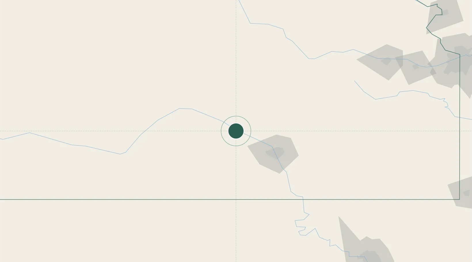
South Hutchinson
38.0167°, -97.9333°
2,556
Population
2
Transport functions
Transport Functions
Rail
Road
Hub Profile
Place type
Populated place
Region
Kansas
Population
2,556
Time zone
America/Chicago
Elevation
466 m
Location
Nearby Logistics Neighbours
Cities
- 1Haven19 km
- 2Moundridge42 km
- 3Saint Marys44 km
- 4Cheney45 km
- 5Kingman45 km
Ports
- 1Port Of Memphis767 km
- 2Beaumont951 km
- 3Orange963 km
- 4Port Neches964 km
- 5Lake Charles968 km
Airports
Trade Zones
DatabookThe Record of Consolidated Knowledge
United States beyond logistics?