Transport Functions
Multimodal
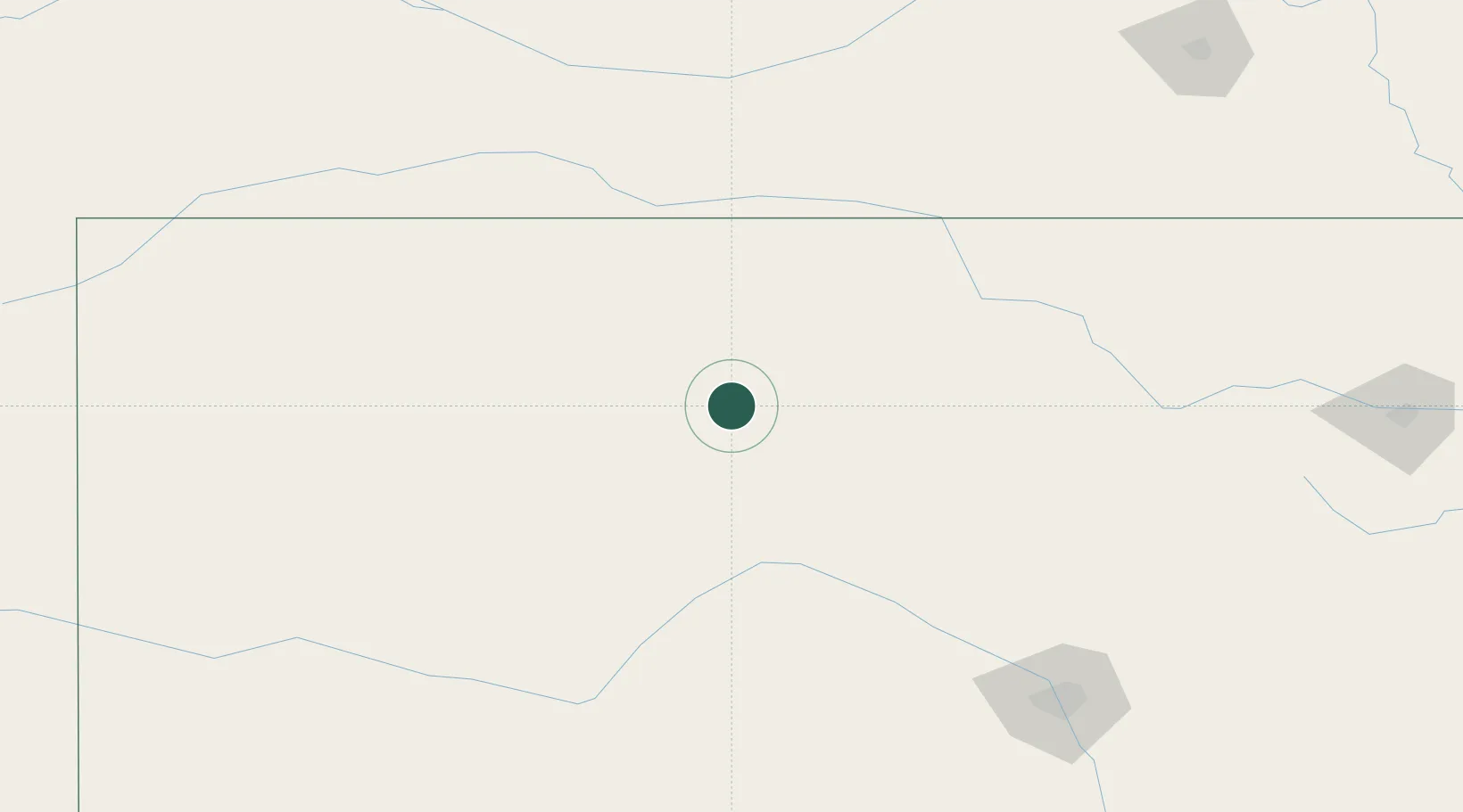
Hub Profile
Place type
Populated place
Region
Kansas
Population
50
Time zone
America/Chicago
Elevation
516 m
Location
Nearby Logistics Neighbours
Cities
- 1Lucas34 km
- 2Osborne42 km
- 3Hoisington66 km
- 4La Crosse71 km
- 5Ellsworth74 km
Ports
- 1Port Of Memphis896 km
- 2Superior1015 km
- 3Duluth1016 km
- 4Two Harbors1059 km
- 5Ashland1060 km
Airports
- 1Russell Municipal Airport27 km
- 2Hays Regional Airport42 km
- 3Salina Municipal Airport115 km
- 4Hutchinson Municipal Airport147 km
- 5Dodge City Regional Airport175 km
Trade Zones
- 1FTZ No. 161 Sedgwick County186 km
- 2FTZ No. 133 Quad-Cities, Iowa Illinois251 km
- 3FTZ No. 059 Lincoln260 km
- 4FTZ No. 015 Kansas City349 km
- 5FTZ No. 017 Kansas City350 km
DatabookThe Record of Consolidated Knowledge
United States beyond logistics?