UN/LOCODE hub · United States
USZHT
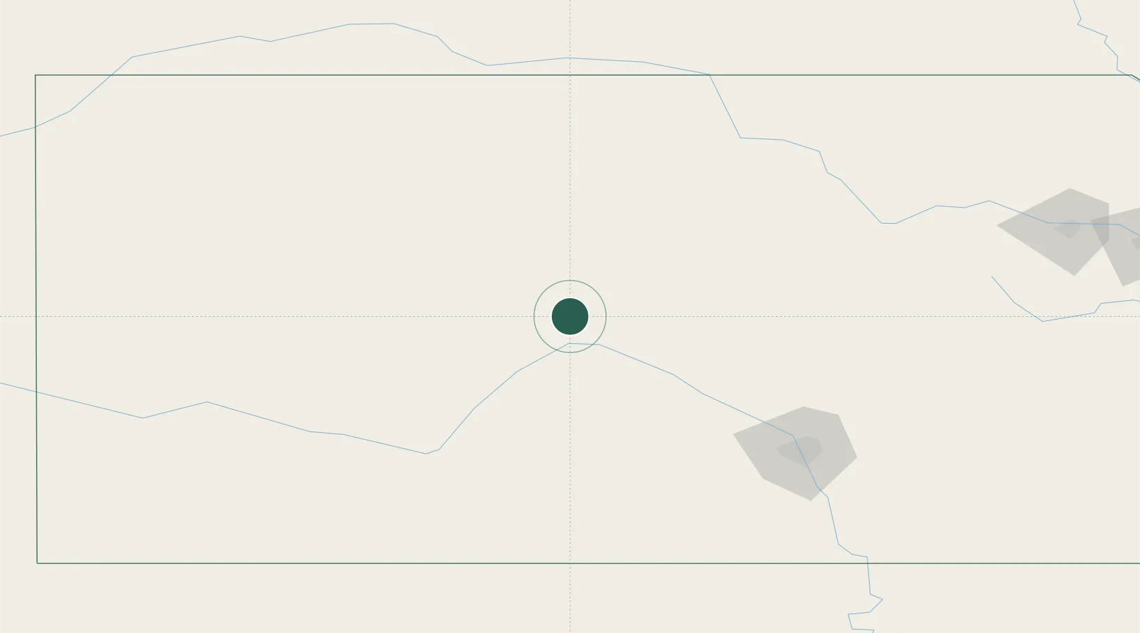
Hoisington
38.5167°, -98.7667°
2,623
Population
4
Transport functions
Transport Functions
Port
Rail
Road
Multimodal
Hub Profile
Place type
Populated place
Region
Kansas
Population
2,623
Time zone
America/Chicago
Elevation
563 m
Location
Nearby Logistics Neighbours
Ports
- 1Port Of Memphis856 km
- 2Beaumont1031 km
- 3Port Neches1045 km
- 4Orange1045 km
- 5Lake Charles1052 km
Airports
- 1Russell Municipal Airport40 km
- 2Hays Regional Airport57 km
- 3Hutchinson Municipal Airport94 km
- 4Salina Municipal Airport102 km
- 5Dodge City Regional Airport134 km
Trade Zones
- 1FTZ No. 161 Sedgwick County127 km
- 2FTZ No. 133 Quad-Cities, Iowa Illinois278 km
- 3FTZ No. 059 Lincoln303 km
- 4FTZ No. 015 Kansas City338 km
- 5FTZ No. 017 Kansas City345 km
DatabookThe Record of Consolidated Knowledge
United States beyond logistics?