Transport Functions
Multimodal
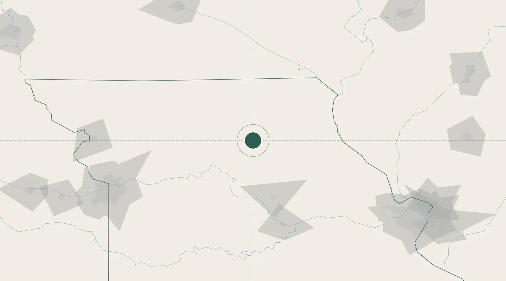
Hub Profile
Place type
Populated place
Region
Missouri
Population
281
Time zone
America/Chicago
Elevation
250 m
Location
Nearby Logistics Neighbours
Cities
- 1Brookfield39 km
- 2Salisbury40 km
- 3Novelty45 km
- 4Mendon48 km
- 5Green Castle60 km
Ports
- 1Calumet Harbor483 km
- 2Chicago484 km
- 3Indiana Harbor486 km
- 4Wilmette489 km
- 5Great Lakes491 km
Airports
- 1Kirksville Regional Airport39 km
- 2Columbia Regional Airport109 km
- 3Quincy Regional Airport Baldwin Field123 km
- 4Whiteman Air Force Base139 km
- 5Ottumwa Regional Airport152 km
Trade Zones
- 1FTZ No. 055 Burlington174 km
- 2FTZ No. 102 St. Louis County205 km
- 3FTZ No. 017 Kansas City206 km
- 4FTZ No. 015 Kansas City221 km
- 5FTZ No. 107 Polk County233 km
DatabookThe Record of Consolidated Knowledge
United States beyond logistics?