UN/LOCODE hub · United States
USG4D
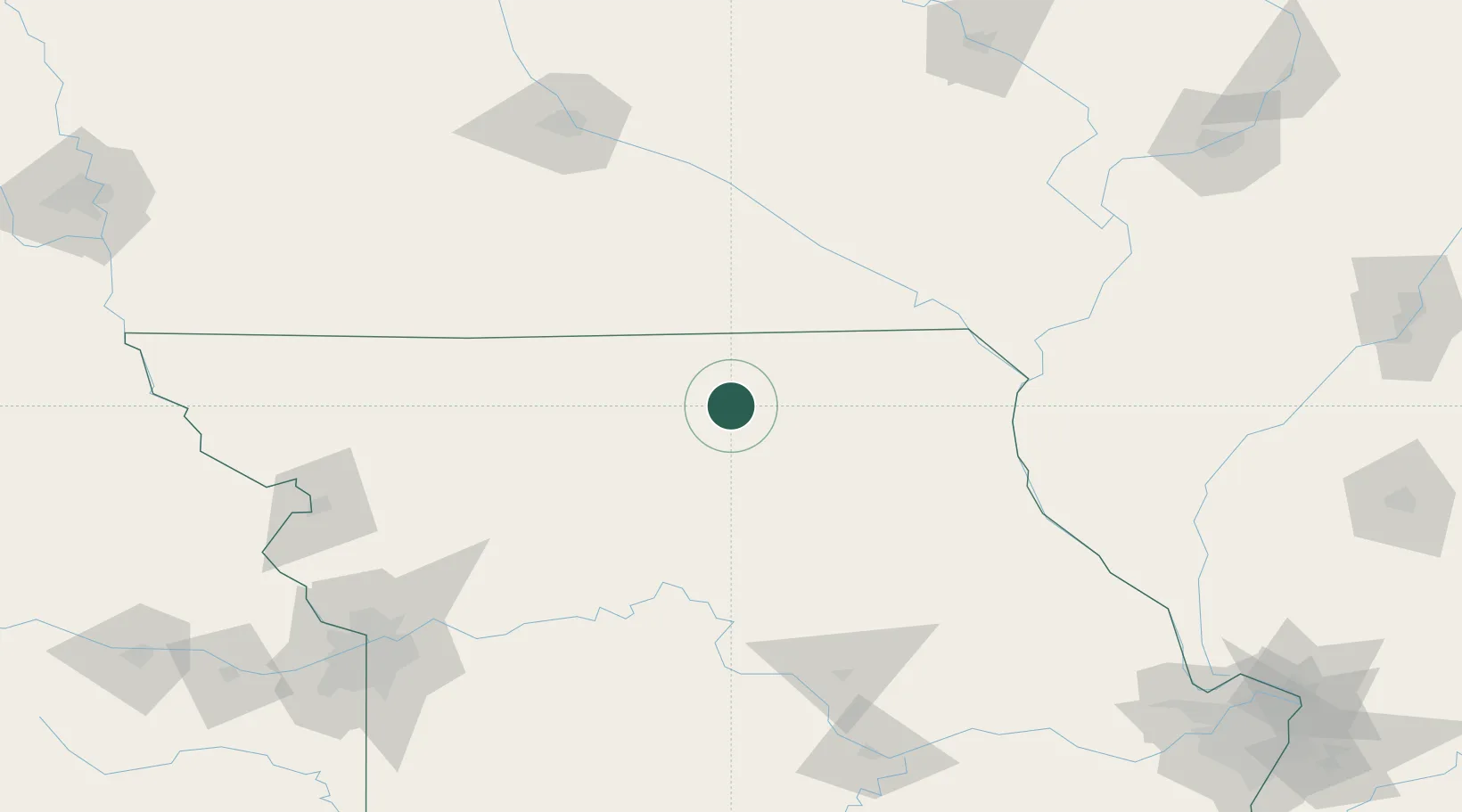
Green Castle
40.2500°, -92.8667°
274
Population
3
Transport functions
Transport Functions
Rail
Road
Multimodal
Hub Profile
Place type
Populated place
Region
Missouri
Population
274
Time zone
America/Chicago
Elevation
318 m
Location
Nearby Logistics Neighbours
Cities
- 1Milan22 km
- 2Unionville28 km
- 3Harris41 km
- 4Newtown42 km
- 5Brookfield55 km
Ports
- 1Chicago477 km
- 2Calumet Harbor478 km
- 3Great Lakes478 km
- 4Wilmette479 km
- 5Indiana Harbor483 km
Airports
Trade Zones
- 1FTZ No. 055 Burlington162 km
- 2FTZ No. 107 Polk County173 km
- 3FTZ No. 175 Cedar Rapids211 km
- 4FTZ No. 017 Kansas City214 km
- 5FTZ No. 015 Kansas City234 km
DatabookThe Record of Consolidated Knowledge
United States beyond logistics?