Transport Functions
Road
Multimodal
Hub Profile
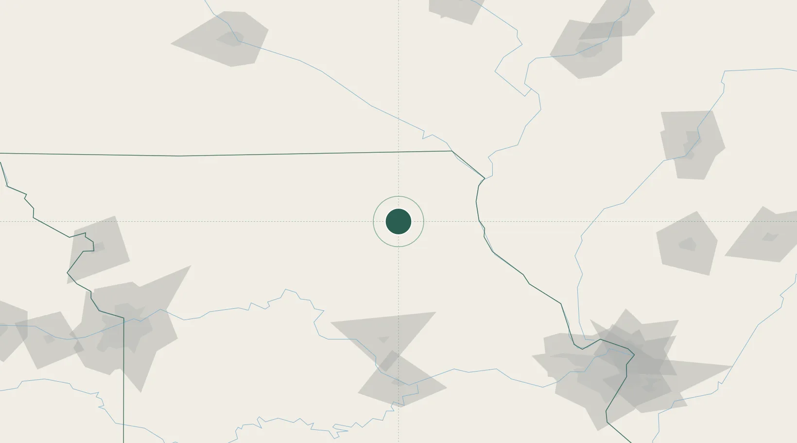
Place type
Populated place
Region
Missouri
Population
133
Time zone
America/Chicago
Elevation
255 m
Location
Nearby Logistics Neighbours
Cities
- 1Newark20 km
- 2Callao45 km
- 3La Grange60 km
- 4Palmyra63 km
- 5Green Castle63 km
Ports
- 1Calumet Harbor438 km
- 2Chicago439 km
- 3Indiana Harbor442 km
- 4Wilmette444 km
- 5Great Lakes446 km
Airports
Trade Zones
- 1FTZ No. 055 Burlington130 km
- 2FTZ No. 102 St. Louis County198 km
- 3FTZ No. 175 Cedar Rapids221 km
- 4FTZ No. 031 Granite City222 km
- 5FTZ No. 107 Polk County225 km
DatabookThe Record of Consolidated Knowledge
United States beyond logistics?