Transport Functions
Rail
Road
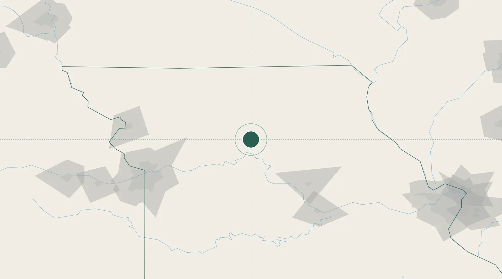
Hub Profile
Place type
Populated place
Region
Missouri
Population
167
Time zone
America/Chicago
Elevation
215 m
Location
Nearby Logistics Neighbours
Cities
- 1Brookfield23 km
- 2Salisbury34 km
- 3Carrollton41 km
- 4Callao48 km
- 5Milan69 km
Ports
- 1Calumet Harbor531 km
- 2Chicago532 km
- 3Indiana Harbor534 km
- 4Wilmette536 km
- 5Great Lakes538 km
Airports
Trade Zones
- 1FTZ No. 017 Kansas City158 km
- 2FTZ No. 015 Kansas City173 km
- 3FTZ No. 055 Burlington220 km
- 4FTZ No. 102 St. Louis County234 km
- 5FTZ No. 107 Polk County237 km
DatabookThe Record of Consolidated Knowledge
United States beyond logistics?