UN/LOCODE hub · United States
USOFI
Brookfield
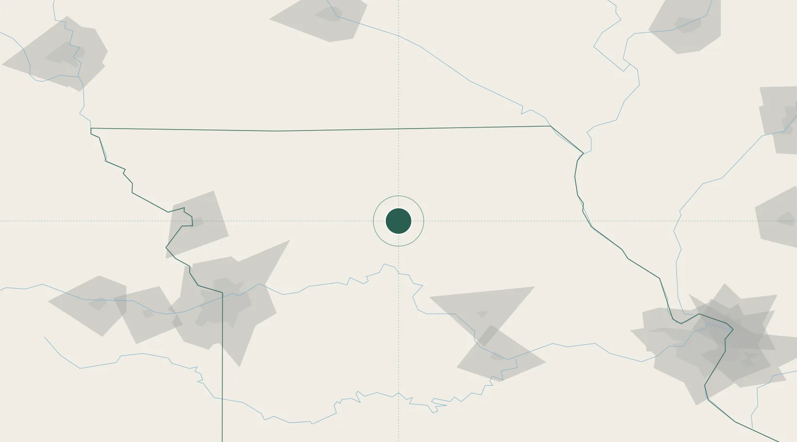
39.7833°, -93.0667°
4,358
Population
2
Transport functions
Transport Functions
Rail
Road
Hub Profile
Place type
Populated place
Region
Missouri
Population
4,358
Time zone
America/Chicago
Elevation
232 m
Location
Nearby Logistics Neighbours
Cities
- 1Mendon23 km
- 2Callao39 km
- 3Milan47 km
- 4Salisbury47 km
- 5Green Castle55 km
Ports
- 1Calumet Harbor515 km
- 2Chicago516 km
- 3Indiana Harbor519 km
- 4Wilmette519 km
- 5Great Lakes520 km
Airports
Trade Zones
- 1FTZ No. 017 Kansas City172 km
- 2FTZ No. 015 Kansas City189 km
- 3FTZ No. 055 Burlington202 km
- 4FTZ No. 107 Polk County217 km
- 5FTZ No. 102 St. Louis County240 km
DatabookThe Record of Consolidated Knowledge
United States beyond logistics?