Medium airport · United States
Quincy Regional Airport Baldwin FieldKUIN
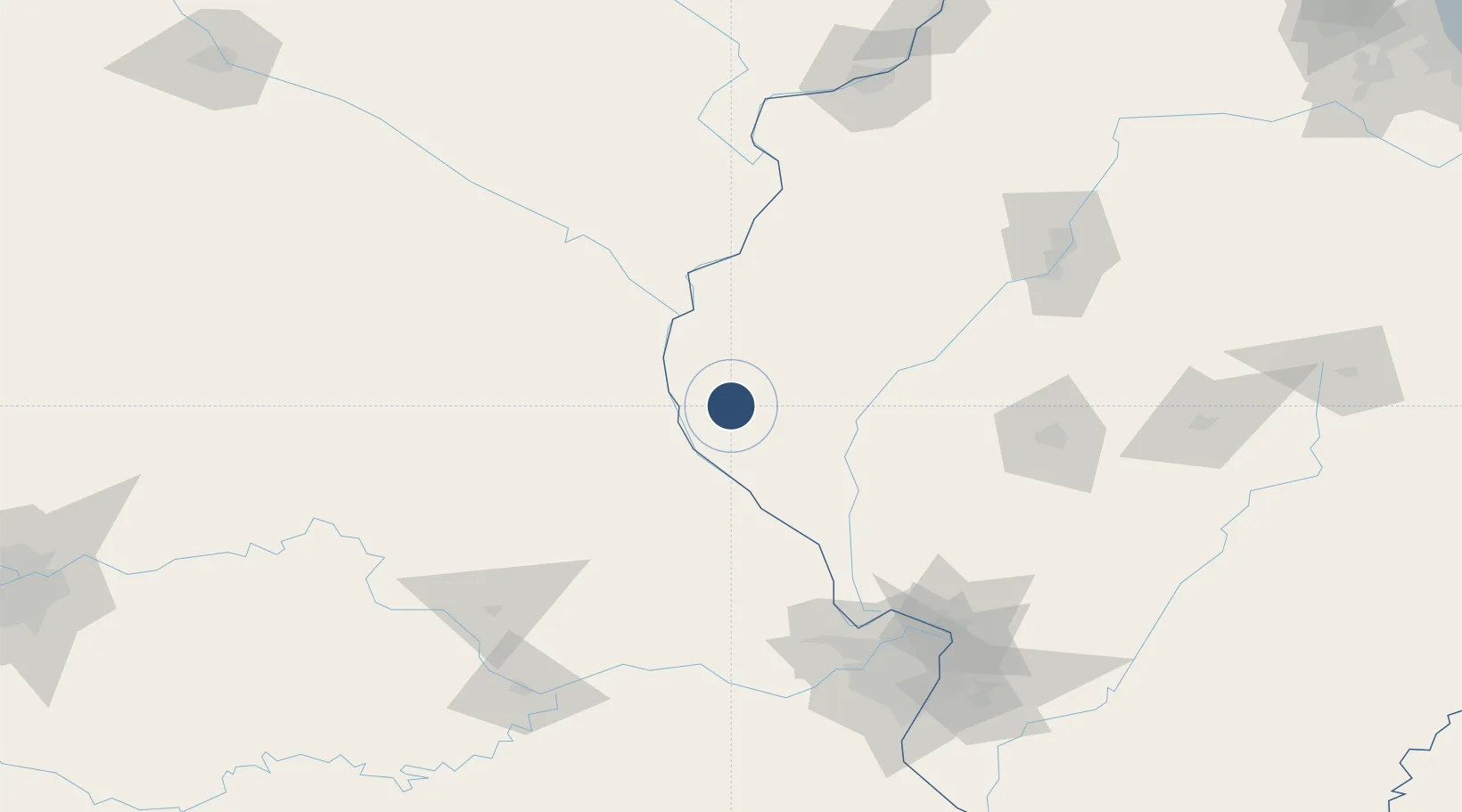
39.9427°, -91.1946°
7,098 ft
Longest runway
3
Runways
768 ft
Elevation
Runway & Layout

Radio Frequencies
ASOS
118.325 MHz
CNTR
135.525 MHz
KANSAS CITY CNTR
RDO
122.5 MHz
ST LOUIS RDO
UNIC
123 MHz
CTAF/UNICOM
Navaids
UI NDB Quincy 293 kHz
UIN VORTAC Quincy 113.60 MHz
Runways · 3
| Runway | Dimensions | Surface | True heading | Lit |
|---|---|---|---|---|
| 04/22 | 7,098 × 150ft | Asphalt / concrete | 040° | ✓ |
| 18/36 | 5,399 × 150ft | Concrete | 179° | ✓ |
| 13/31 | 5,397 × 150ft | Asphalt | 135° | ✓ |
Airport Specifications
IATA code
UIN
ICAO code
KUIN
Airport class
Medium airport
Scheduled service
Yes
Runway surface
Asphalt / concrete
Served city
Quincy
Location
Nearby Logistics Neighbours
Airports
Cities
- 1Columbus6 km
- 2Marblehead19 km
- 3La Grange29 km
- 4Fargo30 km
- 5Barry32 km
Ports
- 1Calumet Harbor368 km
- 2Indiana Harbor370 km
- 3Chicago371 km
- 4Gary375 km
- 5Wilmette379 km
Trade Zones
- 1FTZ No. 055 Burlington97 km
- 2FTZ No. 102 St. Louis County150 km
- 3FTZ No. 031 Granite City159 km
- 4FTZ No. 114 Peoria160 km
- 5FTZ No. 245 Decatur183 km
DatabookThe Record of Consolidated Knowledge
United States beyond logistics?