UN/LOCODE hub · United States
USISU
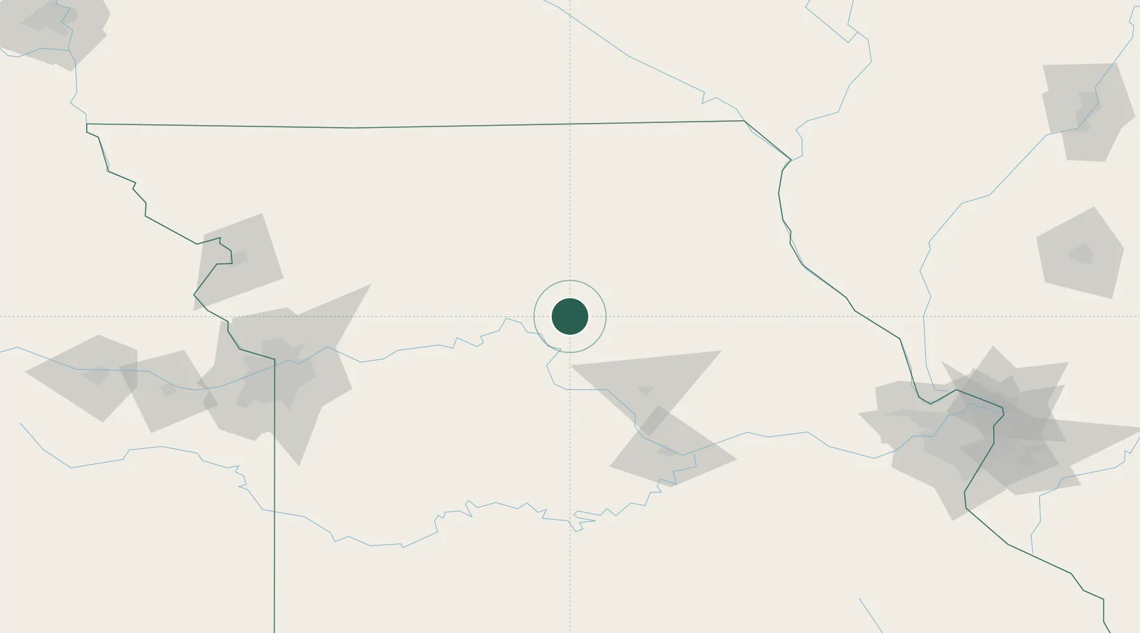
Salisbury
39.4167°, -92.8000°
1,561
Population
2
Transport functions
Transport Functions
Rail
Road
Hub Profile
Place type
Populated place
Region
Missouri
Population
1,561
Time zone
America/Chicago
Elevation
226 m
Location
Nearby Logistics Neighbours
Cities
- 1Mendon34 km
- 2Callao40 km
- 3New Franklin45 km
- 4Brookfield47 km
- 5Lexington52 km
Ports
- 1Calumet Harbor515 km
- 2Chicago517 km
- 3Indiana Harbor518 km
- 4Gary523 km
- 5Wilmette523 km
Airports
Trade Zones
- 1FTZ No. 017 Kansas City181 km
- 2FTZ No. 015 Kansas City192 km
- 3FTZ No. 102 St. Louis County200 km
- 4FTZ No. 055 Burlington212 km
- 5FTZ No. 031 Granite City237 km
DatabookThe Record of Consolidated Knowledge
United States beyond logistics?