UN/LOCODE hub · United States
USZBI
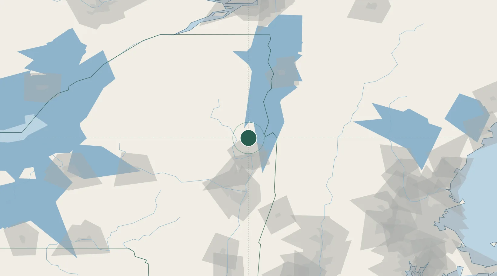
Bolton Landing
43.5500°, -73.6500°
513
Population
3
Transport functions
Transport Functions
Port
Road
Multimodal
Hub Profile
Place type
Populated place
Region
New York
Population
513
Time zone
America/New_York
Elevation
110 m
Location
Nearby Logistics Neighbours
Cities
- 1Lake George14 km
- 2Whitehall20 km
- 3Hartford31 km
- 4Fair Haven32 km
- 5Corinth38 km
Ports
- 1Troy91 km
- 2Albany100 km
- 3Rensselaer100 km
- 4Catskill149 km
- 5Kingston182 km
Airports
Trade Zones
- 1FTZ No. 121 Albany94 km
- 2FTZ No. 268 Brattleboro114 km
- 3FTZ No. 201 Holyoke166 km
- 4FTZ No. 109 Watertown187 km
- 5FTZ No. 118 Ogdensburg197 km
DatabookThe Record of Consolidated Knowledge
United States beyond logistics?