UN/LOCODE hub · United States
USZBD
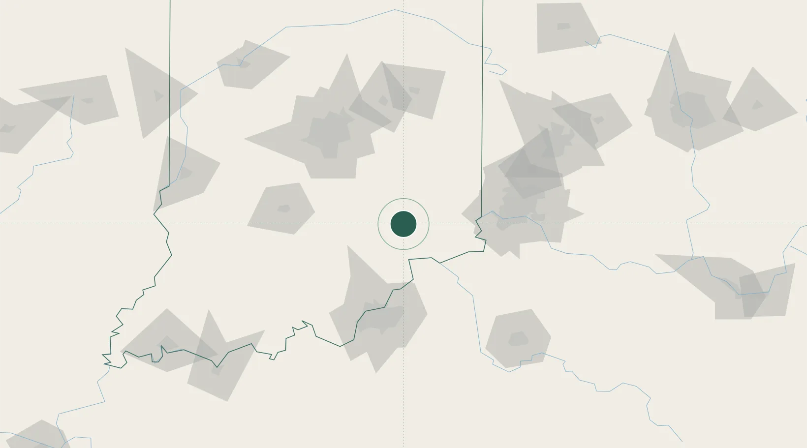
Butlerville
39.0333°, -85.5000°
282
Population
1
Transport functions
Transport Functions
Multimodal
Hub Profile
Place type
Populated place
Region
Indiana
Population
282
Time zone
America/Indiana/Indianapolis
Elevation
246 m
Location
Nearby Logistics Neighbours
Ports
- 1Michigan City323 km
- 2Gary327 km
- 3Indiana Harbor336 km
- 4Toledo343 km
- 5Calumet Harbor345 km
Airports
Trade Zones
- 1FTZ No. 047 Boone County54 km
- 2FTZ No. 046 CIncinnati85 km
- 3FTZ No. 029 Louisville89 km
- 4FTZ No. 072 Indianapolis104 km
- 5FTZ No. 100 Dayton135 km
DatabookThe Record of Consolidated Knowledge
United States beyond logistics?