Transport Functions
Rail
Road
Hub Profile
Place type
Populated place
Region
Indiana
Population
1,610
Time zone
America/Indiana/Indianapolis
Elevation
300 m
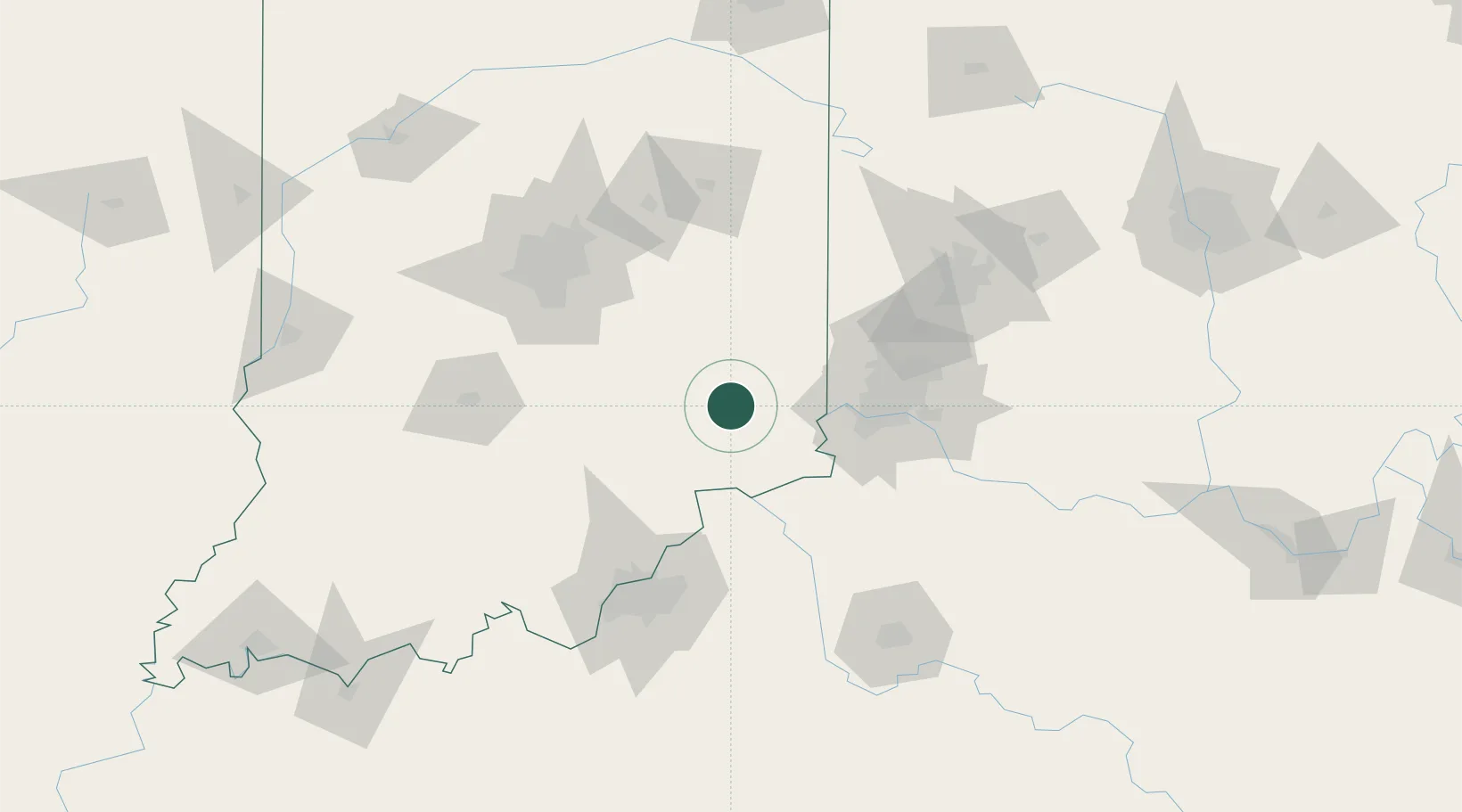
Location
Nearby Logistics Neighbours
Cities
- 1Milan15 km
- 2Sunman19 km
- 3Butlerville22 km
- 4Aurora34 km
- 5Brooksville40 km
Ports
- 1Michigan City320 km
- 2Toledo324 km
- 3Gary326 km
- 4Port Clinton332 km
- 5Indiana Harbor335 km
Airports
Trade Zones
- 1FTZ No. 047 Boone County39 km
- 2FTZ No. 046 CIncinnati67 km
- 3FTZ No. 029 Louisville106 km
- 4FTZ No. 072 Indianapolis110 km
- 5FTZ No. 100 Dayton113 km
DatabookThe Record of Consolidated Knowledge
United States beyond logistics?