Transport Functions
Multimodal
Hub Profile
Place type
Populated place
Region
Indiana
Time zone
America/Indiana/Indianapolis
Elevation
210 m
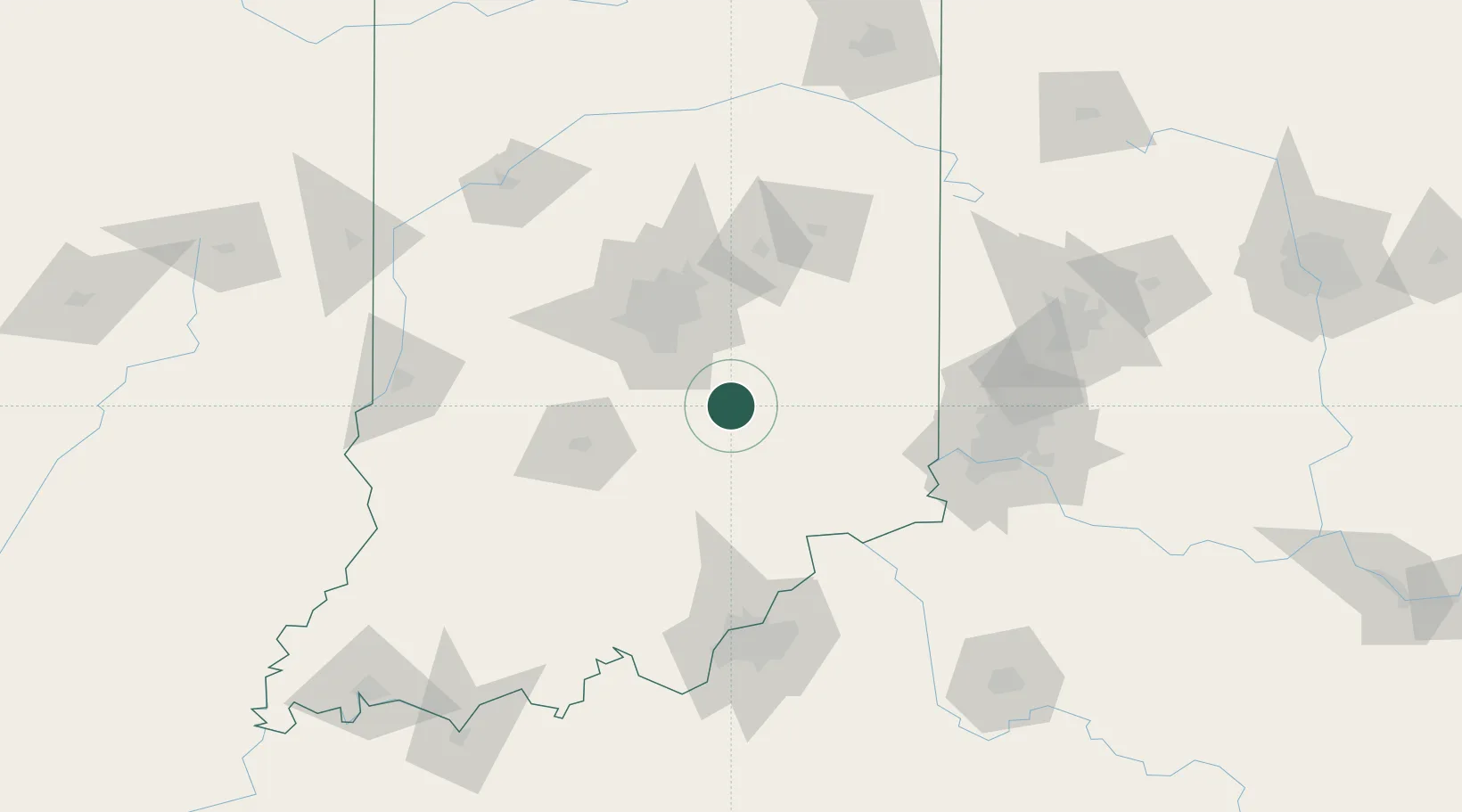
Location
Nearby Logistics Neighbours
Cities
- 1Middletown, Shelby19 km
- 2Fairland26 km
- 3Trafalgar29 km
- 4Whiteland32 km
- 5Milroy34 km
Ports
- 1Michigan City280 km
- 2Gary283 km
- 3Indiana Harbor292 km
- 4Calumet Harbor301 km
- 5St Joseph313 km
Airports
Trade Zones
- 1FTZ No. 072 Indianapolis60 km
- 2FTZ No. 047 Boone County91 km
- 3FTZ No. 046 CIncinnati116 km
- 4FTZ No. 029 Louisville120 km
- 5FTZ No. 100 Dayton141 km
DatabookThe Record of Consolidated Knowledge
United States beyond logistics?